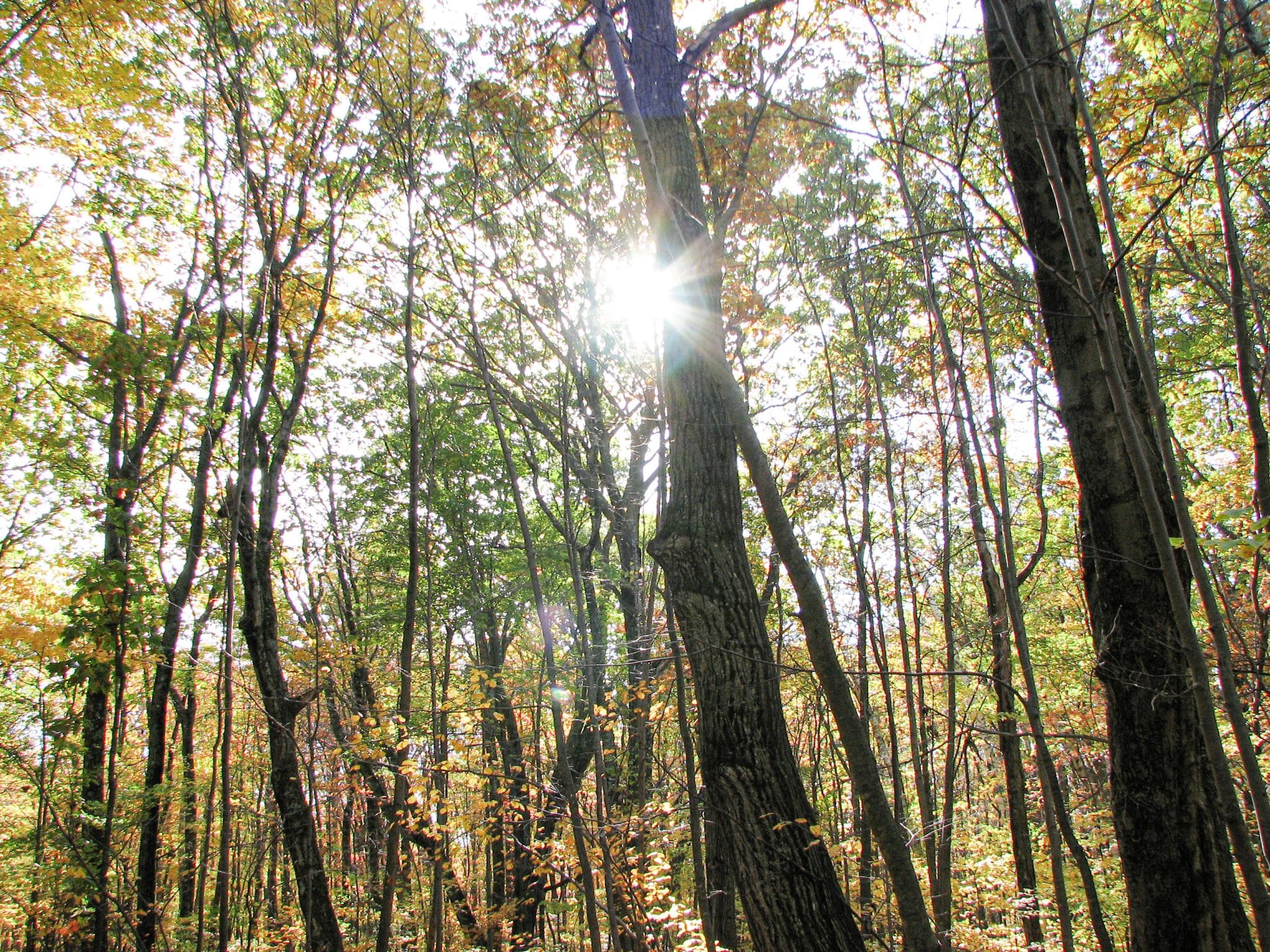
“I want the [McClean] game refuge to be a place where some of the things God made may be seen by those who love them, as I loved them, and who may find in them the peace of mind and body that I have found.” From the will of Sen. George McLean.
The small Connecticut town of Granby might be best known for its lost acres, a parcel of land ceded to Massachusetts in colonial times, but it’s these two hiking trails hidden away in the McLean Game Refuge that will make you want to visit this rural town again and again.
The McLean Game Refuge, 1800 Acres of Ecological Diversity
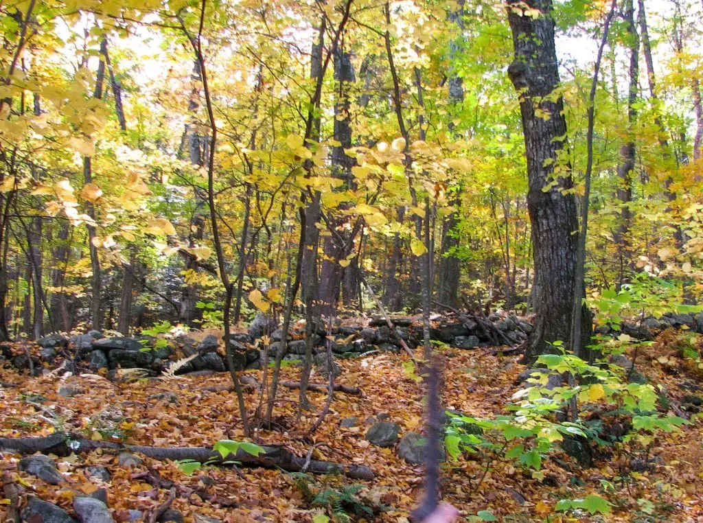
With 4400 acres of trails covering varied geography, surprise overlooks and forgotten history, you’ll find some of the best hiking in Connecticut, hidden away in the Mclean Game refuge in the small town of Granby.
The town of Granby, Connecticut lies in the center of the state just south of Southwick Massachusetts. It’s easy to find if you look for the notch, a small cutout out in the northern border of the state.
It seems there was a bit of a land dispute back in the colonial days. A botched land survey placed the border between Connecticut and Massachusetts too far south. By the time the mistake was realized, several residents had grown accustomed to living in one state or another and didn’t really want to change allegiances. Colonial loyalty being what it was, the decision was made to hand over the less inhabited acres in Granby to keep the populace peace.
It’s a loss Granby still feels to this day, with places such as Lost Acres Orchard, lamenting the missing acreage in name. Even the volunteer fire department wears the Lost Acres moniker, a reminiscence to forgotten times.
While Granby may come up short a few parcels of land, it certainly isn’t missing out on any of its diversity and majesty, thanks to the foresight of former Senator George McLean and a parcel of land now bearing his name as the Mclean Game Refuge.
In 1903, Mclean made his initial land purchase, gathering several acres that now form the bulk of the refuge. Over time, he continued to buy farmland as farmers vacated, in an effort to preserve the geological heritage.
This ecologically diverse area encompassed by the McLean Game Refuge is home to many oddities, including one of the Barn Door Hills, a novel traprock land formation on the property’s western edge.
In case you were wondering, there are actually two barn door hills. While each flanks a portion of the designated scenic road, Barn Door Hills, the western door now lies on property held by the Granby Land Trust. A short, but steeply intense, jaunt up the back-side places you at the edge of the trap rock ridge with views of the lost acres and Springfield to the north.
You’ll find far greater diversity and some interesting surprises in the McLean Game Refuge, however, where refuge property has been expanded through several strategic land trust acquisitions. The area boasts an extensive array of hiking and horseback riding trails. Two offer enough interest and diversity to land on our best of Connecticut list of hiking trails.
McLean Land Trust Best Trail #1: Trout Pond and the Senator’s Cabin
Approaching the park from the eastern entrance on Route 10/202 in Granby opens the way for a short and easy stroll to the Senator’s trout pond and cabin. Trout Pond is a manmade lake developed for the Senator’s use by the first property caretaker, Amos George, created by damming a portion of the Bissel Brook.
Waterways such as Trout Pond and the descending Bissel Brook are vital to George McLean’s mission to provide a place where native wildlife could thrive. A 1981 study conducted by Yale confirmed the success of the mission, noting 19 fish species, 17 amphibian species, 17 reptiles, 194 species of birds and 42 mammals, some considered rare or endangered.
The senator’s cabin is another prominent feature of this trail, making it one of the more trafficked areas of the game refuge. The small dwelling is open for public viewing on select days, usually weekends, or you can catch a glimpse of how the Senator entertained guests by peeking in the windows. Despite the spartan accommodations, McLean was known to offer respite to several high-ranking officials.
For a longer excursion, follow the main trail past the cabin to the Spring Pond Trail, also known as the Chestnut Road on the official refuge trail map. This route finds its way through deciduous trees as well as hemlock and white pine. From deep within the forest’s depths, you’ll gradually ascend to the ridgeline on the eastern Barn Door Hills. A short side spur known as the Summit Trail leads to a ledge overlooking the valley and the hills to the west.
From there, head back the way you came on the Spring Pond trail until you reach the Grove Road. Connecting with the Beach Trail and then the Sandy Trail will bring you back to the parking area again. It’s about a three and a half mile walk round trip.
With over 1,800 acres designated by the National Park Service as a National Natural Landmark, [McLean Game Refuge] is the largest site in the State of Connecticut.
McClean Game Refuge Best Trail #2: Following Ghostly Paths
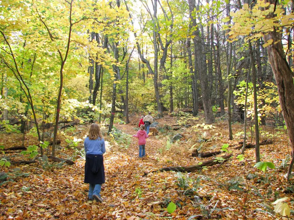
Just off Firetown Road lies the remnants of the Garret Stairs. Once a rocky, terraced slope, it was the major stagecoach route through this part of the state.
The Westledge Trail of the McLean Game Refuge now follows the old route, starting just down the road from a pullout, off the inauspicious entry of a private drive. There is little to mark the trail, so you’ll have to do some sleuthing to find it. This is likely by design as the Westledge Trail holds many secrets as well as the hidden location of an abandoned colonial town.
You won’t walk for long on the Westledge trail before the rushing sound of water lures you off the path. This is the location where a trap rock ledge interrupts the flow of the Steven A. Paine Brook, creating one of the unmarked waterfalls within the McLean Game refuge boundaries.
It’s a pleasant stop on a hot summer day and a beautiful location for fall photos. However, the Westledge has much more in store.
Beyond the falls, the path up the Garret stairs travels through unremarkable woodland, denoted mostly by the fading terrace of the stagecoach route. The bridge that once crossed the Paine Brook is gone now, so you’ll need to wade across or rock hop to reach the other side.
Getting your feet a little wet is well worth the inconvenience though, as the path beyond the brook continues rising toward the ancient colonial town of Pilfershire. Your first hint that you’ve entered some form of civilization is a stone wall enclosure.
No one knows what used to be there, and scant history remains to tell us much about the village or its inhabitants. We know it was thriving in the 1700s and early 1800s, home to a dye house, cider mill and distillery, as well as a rubber shop to name a few.
What became of Pilfershire is a mystery for the ages. Historical references indicate that some buildings were lost to fire, while others must have slowly disintegrated back to the earth.
Anecdotal evidence suggests that the inhabitants of Pilfershire eventually loaded up their wagons and moved en masse to a lake area somewhere farther north. No one knows why.
The mystery of Pilfershire hangs like a dusky cloud on even the clearest day. You could call it a haunting in the McLean Game Refuge since others have hinted at ghosts and apparitions.
A few have done more than hint. A Simsbury resident who once visited the trail swore that she was followed home by the ghost of a young girl. The child remained for several days, quietly lurking in unsuspecting places before disappearing, much like the early residents of Pilfershire did.
Others who walk the stone walls admit to the feeling of being watched as they visit the cellar holes and fading marks of a once-thriving society. Still others feel nothing at all.
A quick check on what we know about Pilfershire suggests that ghosts should be plentiful. A Native American from the north was killed while raiding the town. Several women who were alone in the village at the time of the attack, acted in self-defense, but fearing retaliation from the tribe, buried the body beneath a doorstep and vowed never to tell the tale.
The story got out, eventually.
Unfortunately, his was not the only untimely death in the confines of Pilfershire. In the early days, a residence was razed to the ground by fire. Two children burned to death in the blaze. The family, heartsick and broken, left Pilfershire never to return.
What remains of Pilfershire has been left in remarkably good shape. Stone walls stand firm and foundations have barely buckled despite more than a century beneath the harsh New England elements.
George McLean’s mission in leaving the McLean Game Refuge acreage to the state of Connecticut was to preserve the history and sanctity of both the ecological and historical treasures that remain. If you visit Pilfershire, please be mindful of this goal and leave the ruins as you found them, resting in peace.
Visiting McLean Game Refuge and the Town of Granby
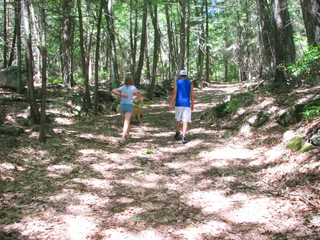
McLean Game Refuge is open from 8:00 am to 8:00 pm, or sunset and offers several trails for both hikers and equestrians. Please consult the game refuge trail map before heading out.
If you’re in Granby visiting McLean Game Refuge, you can extend your history tour with a visit the town symbol, the 400+ Dewey Oak on Day Street. Saved from the woodman’s ax by donations from dedicated citizens, the historic oak is now owned and cared for by the Granby Land Trust Association.
Yes, apple-inspired baked goods are featured on the menu, but so are several other items that make a good lunch or a snack.
Other Things to Do in Granby, CT
Other not-to-be-missed destinations near the McClean Game Refuge include:
- Lost Acres Orchard: More than a New England fall destination, Lost Acres Orchard offers a bakery and small restaurant surrounded by an apple orchard. It’s a beautiful place to lunch in the spring when apple trees are blooming. It’s also a great destination for fall activities, including apple picking, cider pressing and hayrides into the orchard. From Day Street, heading north on Route 189 will take you to Lost Acres Road and the delectable eats at Lost Acres Orchard.
- Meals on tap: For a heartier meal, try Rancho Viejo, a family-run Mexican eatery in town, or the Cambridge Brewhouse, the place to go for pub-style food and homegrown ale.
- Salmon Brook Historical Society: Located in the center of town on street lined with colonial era homes, is the town historical society. Here, you’ll find a handful of historic buildings from the early years of town history. Tours are conducted every Sunday from 2:00 pm until 4:00 pm. If you’d like to visit on a different day, contact the Salmon Brook Historical Society.
- Enders State Forest: I hesitate to mention this town gem as recent publicity has seen it overrun with sometimes disrespectful and often careless guests. If you visit the variety of cascades, low water falls and plunge pools, please do so with care and respect. Many guests have slipped from cliffside rocks and been injured. A new walkway constructed by the state will help, but only if visitors abide by established guidelines. Enders State Forest is a beautiful and treasured landmark within the town that abuts the 2,400 acres of McClean Game Refuge.
Location

Granby, CT
Trip Length

Half to full day
Things to Do Nearby

Old Newgate Prison – Copper Mine and Historic Prison 4.4 miles
New England Air Museum – 7 miles

