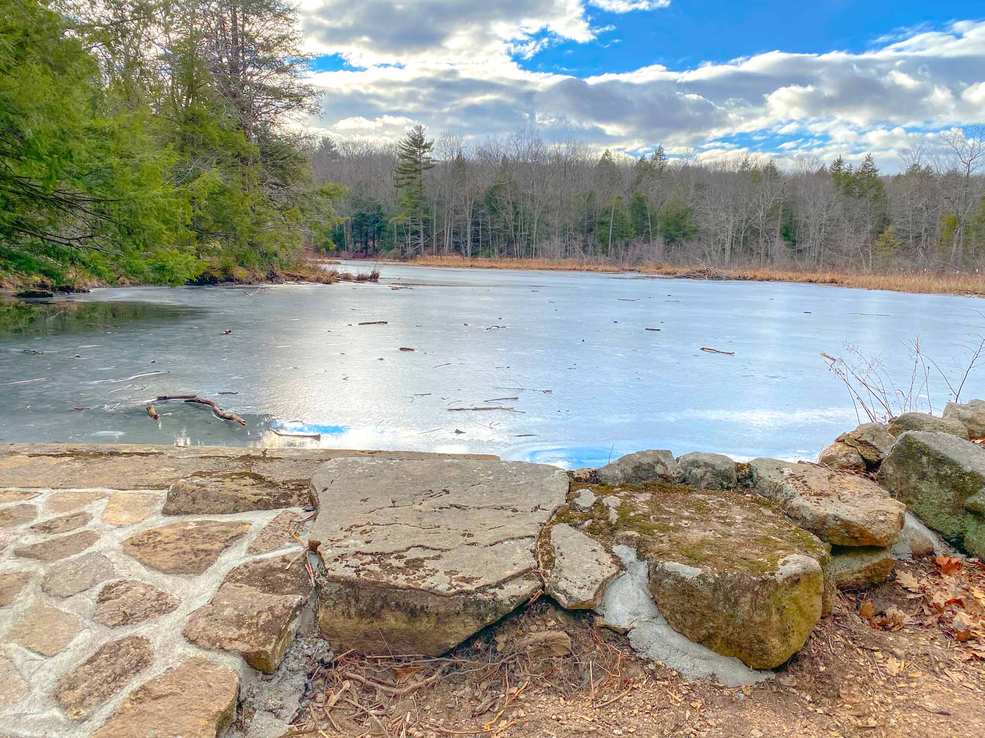
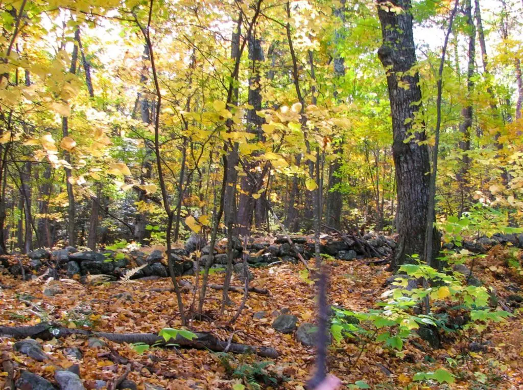
It was a balmy 4o degrees when we set out for a hike in the Dismal Brook Wildlife Preserve in North Granby, Connecticut. Not a beach day by any means, but the sun was flirting with some billowing clouds, and the weather forecast promised more frigid temperatures for the weekend, so it seemed the perfect time to check out this newer Granby Land Trust Property.
As a resident of the area for more than twenty years, I’d always wondered about the vast tracks of land that traversed up some of the local peaks. A hike through Dismal Brook Wildlife Preserve was about to answer some of those questions.
Finley the Connecticut Corgi Hikes Dismal Brook Wildlife Preserve
Setting out for a Hike through the Dismal Brook Wildlife Preserve
We easily found the parking area for the Dismal Brook Wildlife Preserve at 253 Loomis Street, recognized by the sudden break in the tree line and a familiar Granby Land Trust sign.
At the trailhead, we found room for about ten cars. On a weekday in the middle of winter, about five of the spaces were occupied, but there was surprisingly not a soul in sight.
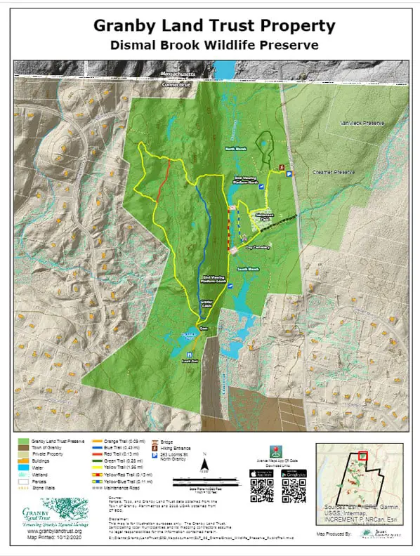
The Dismal Brook Wildlife Preserve features two main trails. Both head in opposite directions from the entry path, a short densely packed trickle of land that leads from the parking area through the dense canopy.
To the right from the entry path, is the Green trail, a short loop that leads through forest and around the edge of marshland, before meeting back at the end of the entrance path. We finished this loop in under 5 minutes and were soon back where we started.
It’s important to note that this section of the preserve features one of the bird-viewing stations on the property. The area is prime habitat for several of the region’s native birding life, with over 100 species spotted to date by monitor James Weeks, including some uncommon specimens, such as the Prairie Warbler and the purple finch.
With two excited dogs in tow (and appropriately leashed), we weren’t going to spot many of the native species, so we set off on the Yellow Trail, the second main trail at the Dismal Brook Wildlife Preserve.

This more substantial trail takes a left turn from the entrance path and wanders about an eighth of a mile trek before it splits to the left or the right. This marks the loop portion of the trail. A right turn will lead quickly upward around the edge of the Dismal Brook and marshland to the summit.
This is the way to go if you want a good leg work out or you don’t enjoy taking a steep incline on the downhill stretch. During our visit in January, the path was leaf-strewn and slippery, so it’s a good choice if you aren’t sure footed. You’ll spend the first part of your journey traveling through mountain laurel and other native species before descending to the bigger surprises that await you on other side of the Yellow Trail at Dismal Brook Wildlife Preserve.
Hitting the Loop Portion of the Yellow Trail at Dismal Brook Wildlife Preserve
With little forethought, we decided to take the left turn onto the loop portion of the yellow trail. We crossed through Stevenson Field before meeting up with a T-intersection at an abandoned road. This thoroughfare was once a passage between Loomis Street and Silver Street, located on the other side of the peak from where we stood.
A right turn here follows the former road across a flat flood plain. Views of marshland teased through the forest layers to the left while rugged farmland continued on the right. In another eighth of a mile or so, a small pushed back clearing portended something important.
Immediately after this section of land, is a marker for the Blue Trail. It’s worth taking a slight detour up the hill at this stretch, as you’ll soon encounter Granby’s oldest burial ground, the Day Cemetery.
Home to 5 current graves, this small plot of land marks the final resting spot for Elijah Truman, a smallpox victim in 1795. According to records contained by the Granby Historical Society, the Day cemetery is also the final resting place for Nathaniel Atkinson, who died in 1861 at the very impressive age of 92.
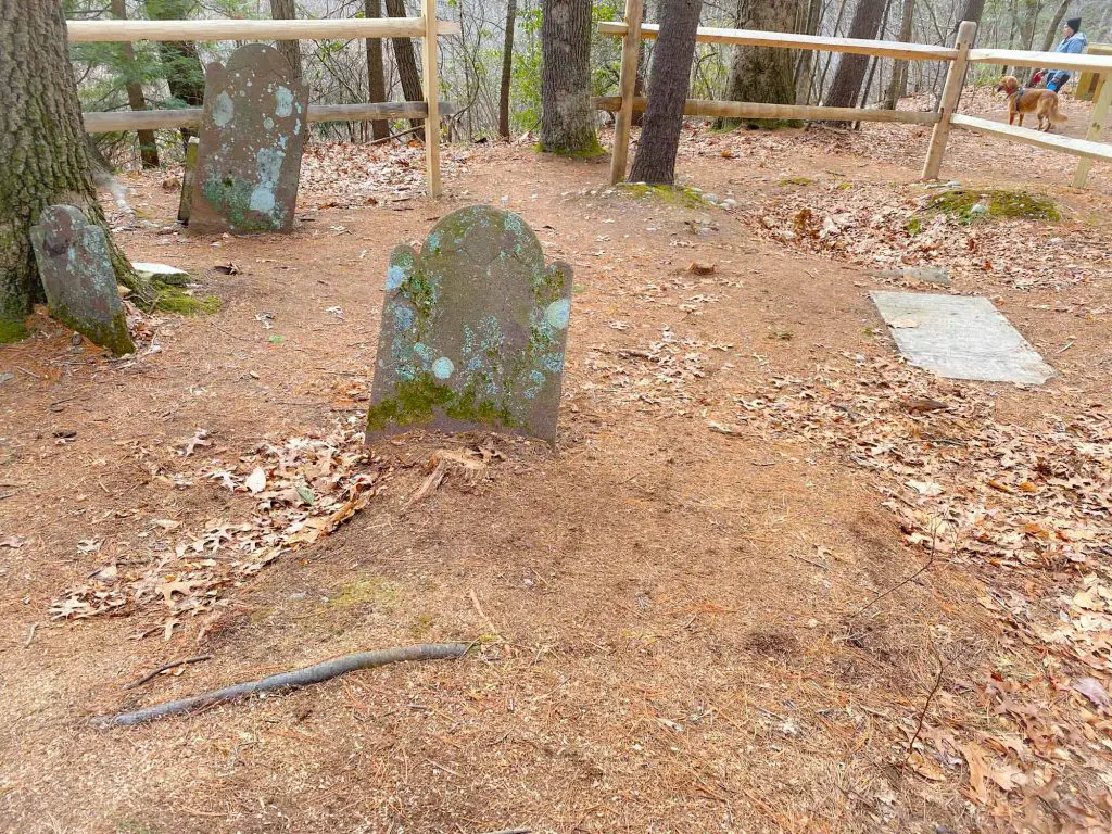
He is joined by other members of the Day family. According to the Granby Land Trust, the Day family most likely worked the land in colonial times, scratching out an existence from the tough rocky ground. Given the proximity to the marshland, it wouldn’t be surprising if they had to fight annual floods as well, all to bring in a crop worthy of subsistence.
Although you won’t readily see it today, Truman’s gravestone features a common epitaph for the time period:
Remember me as you pass by
As you are now so once was I
As I am now you soon must be
Prepare for death and follow me
Possibly tainted by the harsh realities of life in early New England, colonial attitudes toward death were quite pragmatic and failed to contain any mention of the afterlife or hope of continued existence.
Creamer Pond and Glazier Cabin at Dismal Brook Wildlife Preserve
Following the blue trail back to the Yellow Trail will soon lead you over marshland, via a newly constructed wooden bridge. Shortly thereafter, you’re confronted with another choice: to take a right and follow the red trail, or take a left to remain on the yellow trail.
The red trail is essentially a shortcut to the final leg of the yellow trail. Since this journey misses some of the most interesting aspects of the Dismal Brook Wildlife Preserve, we recommend that you take the left and continue upwards over the abandoned road.
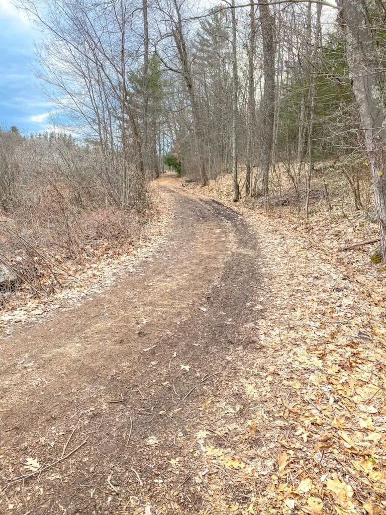
It won’t be long before you’ll start to see the Glazier Cabin through the trees. The structure has been recently updated with some new shake shingles. Rocking chairs on the porch made a welcome addition for a few fellow hikers. After enduring the climb up the road, they were enjoying the view of Creamer pond from their vantage point.
They graciously relinquished the porch to us, giving us some time to peek through the cabin windows and explore the outer limits of the clearing from all sides. After enjoying our hilltop view of Creamer Pond for a few moments, we then descended to the water.
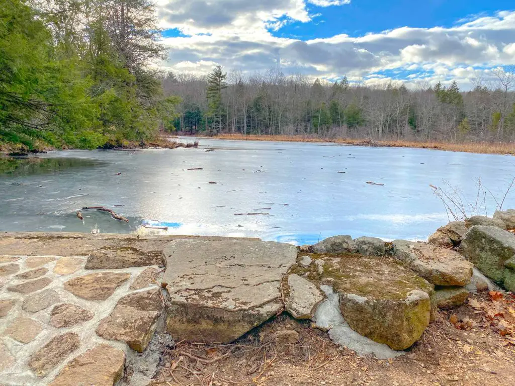
Creamer pond seems to be nearing a marshland stage itself, but offers a peaceful respite from the world outside of the Dismal Brook Wildlife Preserve. Two chairs placed thoughtfully on the bank are a nice addition and would have been quite inviting on a slightly warmer day.
We did take a few minutes to rest, but soon continued over the dam separating Creamer Pond from the tumbling Dismal Brook below. This section of trail is a small spur from the yellow trail and leads up hill to a partially obscured lookout providing an alternative view of Creamer Pond.
To get back to the main trail, we reversed our steps and picked up the yellow trail beside Glazier Cabin. From here, the path leads upward to the ridgeline.
We found ourselves in woodland for the remainder of the trail. A large portion of the ridge trail skirts the backside of properties on Silver Brook Lane, but we never saw another soul. Some side trails have been blocked off in this section, presumably because the led to private property, so we stayed on the main trail and soon found ourselves heading downward.
This last section is the steep portion of the trail mentioned earlier in this article and can be treacherous when wet. If you’re concerned about footing, hiking poles would be advisable. However, once you’re down the relatively short section of the path, the land is flat again, rounding around the brook to end again at Stevenson Field.
From here, you’ll take the opening portion of the Yellow Trail back to the parking lot.
Final Thoughts on Dismal Brook Wildlife Preserve
We found our two-and-a-half-hour trek around the Dismal Brook Wildlife Preserve to be the perfect half-day hike on a warmer January day but wished we had used the Avenza Map app to follow the trail. If you decide to do so, The Granby Land Trust recommends downloading the map before you leave home as cell service in this area is spotty.
Given the marshy areas on the property, this Connecticut hike might not be the best choice in the spring or humid summer days, but we plan to take the chance some time to see the trees in bloom.
Dismal Brook Wildlife Preserve would make a stunning fall hike with many opportunities for leaf peeping and autumn photography.
Overall, Dismal Brook Wildlife Preserve in North Granby makes our list of top Connecticut hikes.
This property, formerly owned by Cordelia Richards, was donated by Jamie Gamble to Granby Land Trust in 2020. Gamble donated the 201 acres located at 253 Loomis Street to protect the wildlife diversity of the north and south marshes for future generations.
Explore With Us

