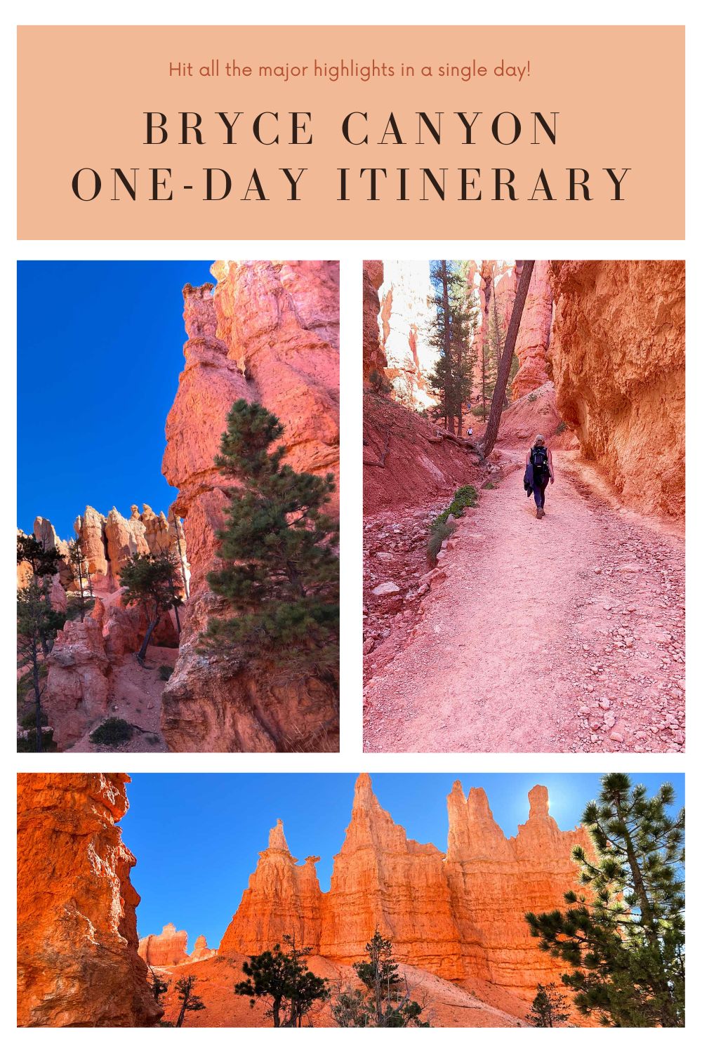
Located in the heart of Southern Utah, Bryce Canyon National Park is a true natural wonder. Known for its unique and stunning landscapes, it’s a place worth staying a few days. However, if you only have one day to explore, we’ve got you covered. From sunrise to sunset, we’ll guide you through a day packed with beautiful views, exciting hikes, and useful tips to make the most of your short visit. Get ready for a day of discovery and natural beauty with our one-day Bryce Canyon itinerary and a trip that you’ll remember for a lifetime. First, some terms you may want to know:
Hoodoo: A hoodoo is a peculiar rock formation, sculpted by natural forces. Through the whims of erosion, these geological wonders narrate the ancient tales of Earth’s restless creativity.
Natural bridge: A natural bridge in Bryce Canyon National Park is a majestic stone arch carved by the relentless hands of erosion, standing as a stony testament to the park’s geological saga.
Bryce Canyon One-Day Itinerary
Getting There, Where to Stay and Travel Tips for a Bryce Canyon One-Day Itinerary
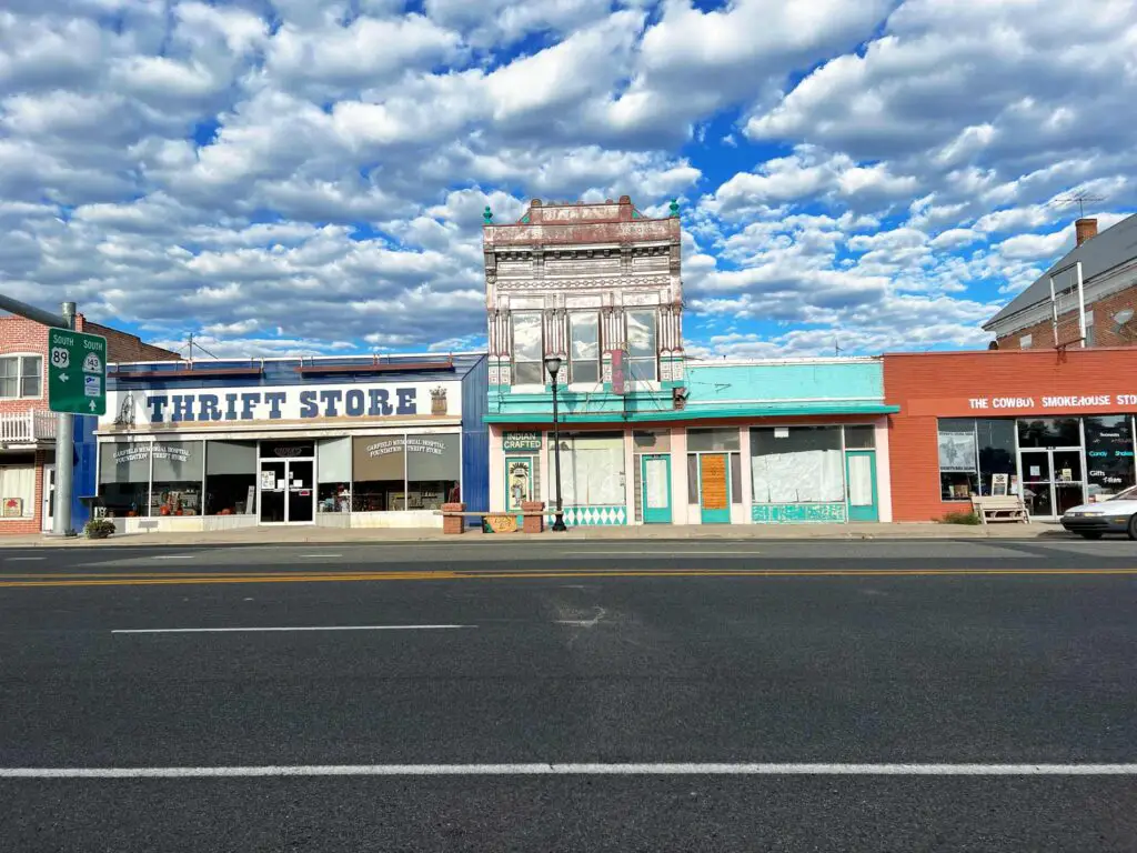
If you only have but one day to spend at Bryce Canyon park, you’ll want to stay close by.
There are a few motels located right outside the park entrance on Route 63. The most popular, is Best Western Plus Ruby’s Inn.
With a 4-star review on Google and an included breakfast buffet, this was one of the more populated hotels we saw during our visit. While some guests on Google have complained about odd smells, the location right outside the park gates is hard to beat when taking on a Bryce Canyon one-day itinerary.
The nearby towns of Hatch and Panguitch also offer lodging options. Panguitch affords the traveler a roost in simple motel accommodations, while Hatch leans more to the home rental crowd. Either way, you’re looking at least a half hour drive to the Bryce Canyon park. Be sure to rise early and plan a little extra time into your day.
To get to Bryce from Panguitch, head south on US 89 until you reach the intersection with Route 12. Hang a left here and continue through Red Canyon. This is a favorite drive for many visitors to the park as the highway meanders through a red rock arch.
You’ll travel around 16 miles east on Route 12 to the turn off onto Route 63. This is the main road into Bryce Canyon Park.
If you’re coming from Hatch, you’ll travel north on US 89 until you reach the intersection with Route 12. Take a left and then follow the directions above.
The town of Tropic is another nearby area to stay. This is an easy resting point if you plan to tack on visits to Escalante or Capital Reef National park to your Bryce Canyon one-day adventure.
Here, you’ll find quaint restaurants and mostly Bed and Breakfast or home/cabin rental accommodations. One exception is the Red Ledges Inn. These are basic motel rooms that receive mostly positive reviews on Google. Guests appreciate the close proximity to the park and the budget rates.
However, if you’re willing to spend more, we think you’ll find cleaner more comfortable accommodations at Bryce Country Cabins. Plus, you’ll have more space to spread out. Recent reviewers on Google left high marks, praising the establishment for comfortable beds and clean rooms.
Travel to Bryce Canyon Park from Tropic is very straightforward. Simply head west on Route 12. In about 10 miles you’ll see the turnoff for route 63 into Bryce Canyon National Park.
Tips for Tackling a Bryce Canyon One-Day Itinerary
To be realistic, tackling Bryce in a single day is an ambitious undertaking. There is a lot to see and do in this park and a number of ways to take it all in. For instance, we wanted to take a horseback ride down through the hoodoos. If you sign up to ride within the park, the trail follows a magnificent route right down through the rock formations.
We also wanted to rent e-bikes and ride the paved trail around the park. With only one day at hand, we knew we had to prioritize. So, we focused on seeing as many of the sites as we could, in the most efficient way possible. This Bryce Canyon one-day itinerary will take you to all of the major viewpoints and also provide the opportunity to get up close and personal with some hoodoos.
The First Stop on Our Bryce Canyon One-Day Itinerary
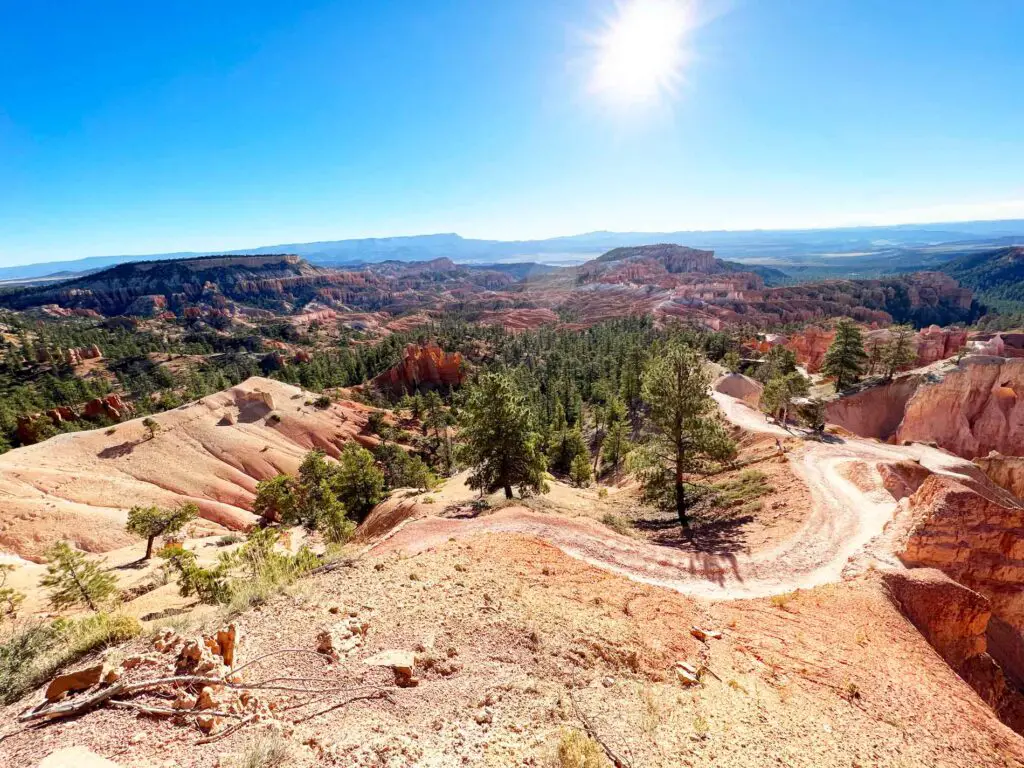
The sun was still low in the eastern sky when we hit the Bryce Canyon gates around 8:00 am. We planned to do one long hike on our single day in Bryce, so we wanted to make it as spectacular as we could. After scouring maps and reading through the detailed hike descriptions on the National Parks website, we settled on the Queens Garden Trail. It was one of only a few hikes that would not take several hours, and by all accounts, would descend into the hoodoos, allowing us to commune with the great rock formations.
Since part of our group was comprised of geology nerds and rockhounds, this was an important consideration. However, the appeal to the Queens Garden Trail is not limited to those who find fascination in the earth’s geological formations. This trail is for anyone who appreciates stunning natural beauty.
You can pick up the Queen’s Garden Trail at a few different viewpoints, but the National Parks Service recommends that you start at Sunrise Point and take the clockwise loop. After hiking this trail in this direction, we definitely agree.
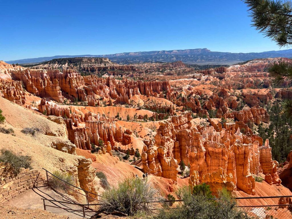
Setting off from Sunrise Point, the trail begins to descend and twist through hoodoos, just as the sun is really emerging in the sky. It’s impossible to describe the feeling of wandering down through these formations, so I won’t try. I’ll simply say that this is the way to go and let the pictures below do the talking.
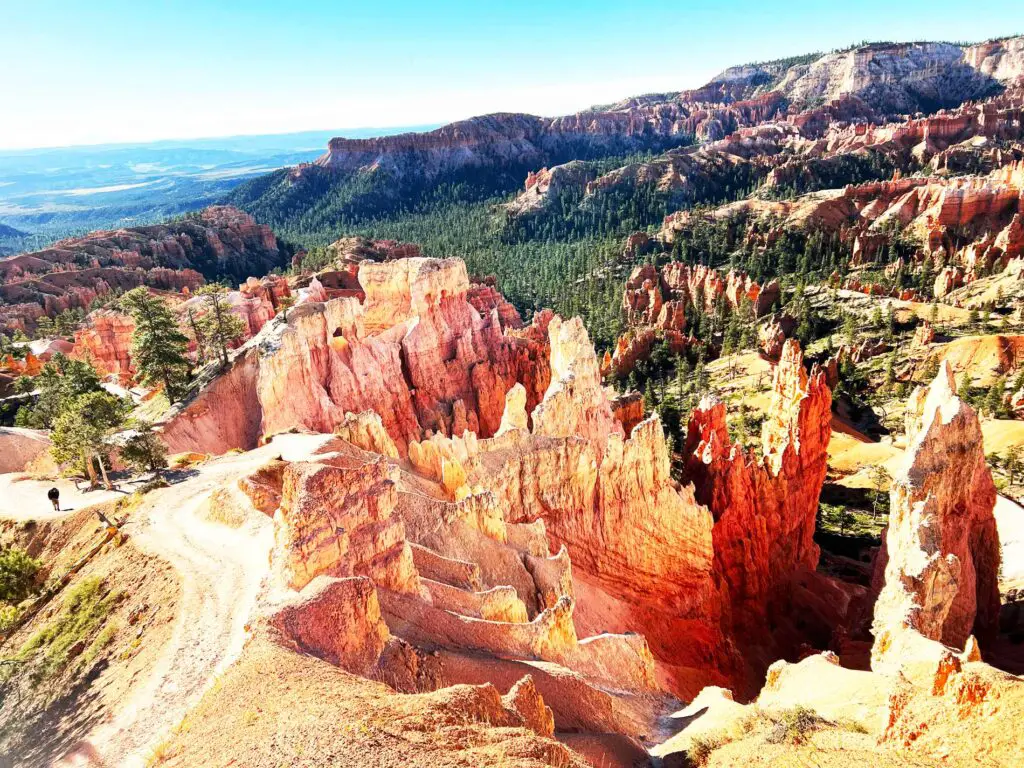
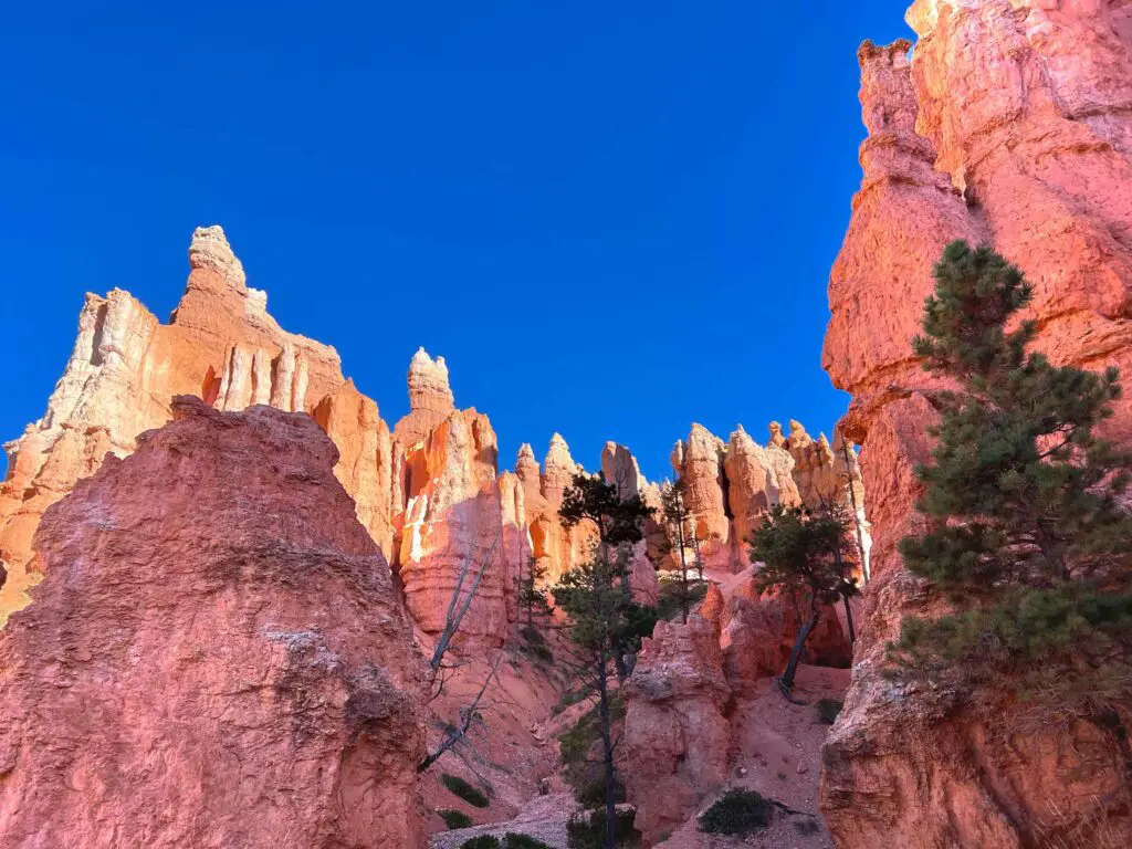
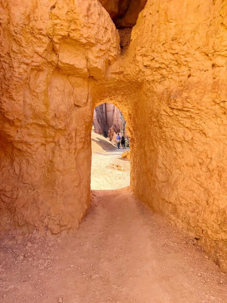
The only downside to following this route, is that you will have a steep hike back up again. Under normal situations, you’ll have three options available for ascending to the rim. The first is to turn around and traverse the same trail back to Sunrise Point. Since we’d already traveled in this direction, we chose to continue onward until we reached the intersection with the Navajo Loop Trail.
The Navajo Loop trail ascends to the rim in relatively short order. Since the trail is a loop, visitors can choose between two routes.
Taking the the turn to the right off of the Queens Garden trail initiates a steep climb through a slot-like canyon. Also known as the Two Bridges trail, the views on this side are stunning and provide a scenic sense of wonder as you realize just how small you are in nature’s scheme of things.
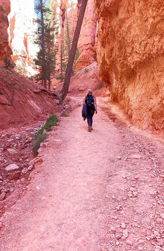
The left trail, known as the Wall Street Side, is a little longer but more manageable for some. Tackling the famed Wall Street, visitors are guided by a switchback route over a former landslide. As it turns out, the famous hoodoos at Bryce Canyon park are as susceptible to demise as the rest of us. Eroded by time and water, the great formations eventually lose purchase in the earth and tumble down.
We hiked down the Wall Street switchbacks several years ago (the recommended route), but found the way barred on our most recent trip. Unexpected rainfall throughout the summer of 2023 had caused multiple slides in the area making it unsafe for hikers.
No matter which side of the Navajo loop you decide to take, your path will end at Sunset Point. It’s another of the advantages associated with this route as you are able to hit two scenic vistas in a single adventure. From there, it’s a short walk back to your vehicle at Sunrise Point.
Hiking the Queen’s Garden Trail: Things to Know
If you decide to embark on the Queens Garden Navajo Loop trail as part of your Bryce Canyon one-day itinerary, there are some things you need to know.
- Parking: There is parking at Sunrise Point. Just take the first left after passing through the park gates. Take the second left off this road to access Sunrise Point Road. You’ll find 113 spaces here, and they do fill up quickly during peak season. We recommend an early arrival.
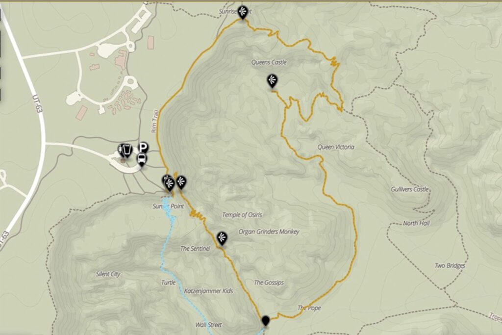
- Length of Trail: According to the National Parks Service, the Queens Garden Navajo Loop Trail is 2.9 miles long and has an elevation gain of 625 feet. Taking our route, you’ll find most of the climb on the last quarter of the trip. Most of the trail from Sunrise Point leads downhill.
- Time: It will take around 2 hours to complete the Queens Garden Navajo Loop. If you plan to stop and take pictures, study rock formations or otherwise take your time, plan on 3 hours.
- Are Pets Allowed: Sadly, pets are not allowed on the Queens Garden Navajo Loop. This is necessary to protect the fragile landscape.
Bryce Canyon Park Lodge and Lunch
Another advantage to ending the Queens Garden Navajo Loop trail at Sunset Point is that you are close to the Bryce Canyon Lodge and restaurant. After 3 hours dancing with the hoodoos, you’ll be feeling pretty hungry, and if you’re doing Bryce Canyon in one day, you’ll need to eat nearby. Fortunately, the restaurant in the lodge offers some simple but tasty options and is located nearby.
From the Sunset Point Overlook, follow the Rim Trail. If you walk far enough, there is also a multi-use path off of the rim trail that will lead directly to the lodge. Look at your park guide and map for more precise directions.
Inside the lodge, you’ll find a small store and a larger restaurant. We took advantage of the soup and salad bar. Burgers are also a staple of the lunch menu.
Bryce Canyon One-Day Itinerary: Filling the Afternoon with the Southern Scenic Drive
With full bellies and weary legs, you won’t mind taking some time to tour the Southern Scenic Drive (Main Park Road) by car or shuttle. This 18-mile road leads to multiple viewpoints, all with incredible sites and scenery.
Since all stops are located on one side of the road, it’s worth driving all the way to the end and starting your scenic viewing at Yovimpa Point. For added amazement, walk the one-mile Bristlecone Loop Trail to the Rainbow Point overlook. Both scenic viewpoints are within a short walking distance of each other and offer amazing views of a canyon filled with hoodoos.
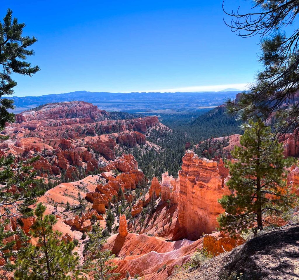
Driving back the way you came, all viewpoints are now an easy right turn access from the road. Given the geology lovers in our group, we stopped at everyone.
If you’re going to do only one thing in Bryce Canyon Park, the Southern Scenic Drive is probably your best pursuit. The multiple scenic overlooks provide a solid glimpse into the majesty and rare wonder of Bryce Canyon, allowing you to view many of the different rock formations and colored stria available within the park.
All but one of the areas features paved trails, making it easy for all to see the sights. Many also offer restroom facilities, so you’re never too far off the beaten path when nature calls.
Here is a brief overview of what you’ll find at each scenic overlook.
Bryce Canyon Southern Scenic Drive Stop One: Black Birch Canyon
From this viewpoint, you’ll see an extension of the Rainbow Point canyon viewed in the first stop. To the west is the Paria Valley, while dead center is the 10,000-foot Table Cliff plateau. Despite its name, you won’t find any Black Birch trees in your field of view. These are native to the east and don’t grow in Utah’s climate.
Bryce Canyon Southern Scenic Drive Stop Two: Ponderosa Canyon
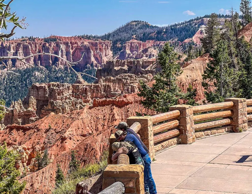
Home to the Agua Canyon Connecting Trail trailhead, the Ponderosa Canyon viewpoint is also a great place to stop and view the terrain. The namesake Ponderosa Pine takes prime billing here, filling the valley floor and adding a complementary splash of green to the pink and white rock formations.
Bryce Canyon Southern Scenic Drive Stop Three: Agua Canyon Overlook
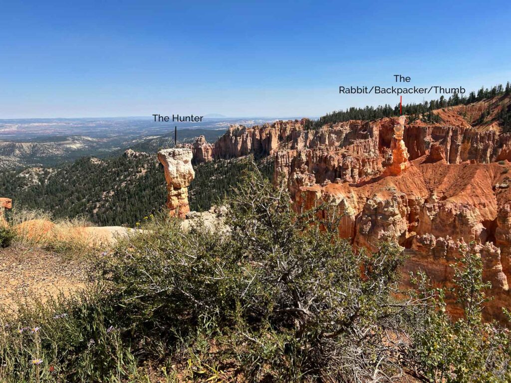
Making another stop on your Bryce Canyon one-day itinerary, pull into the Agua Canyon Overlook. This valley features some of the last of the named hoodoos.
Since rock formations fall and erode over time, many look nothing like the original features that provided inspiration for the old nomenclature. As a result, the NPS has stopped naming hoodoos. However, with an astute eye and a map, you may be able to pick out The Hunter. It’s the taller of the two prominent towers jutting up from the valley floor.
You may also be able to spot the Rabbit, also known as the Backpacker. Some visitors say it looks more like a thumb.
Bryce Canyon Southern Scenic Drive Stop Four: Bryce Natural Bridge
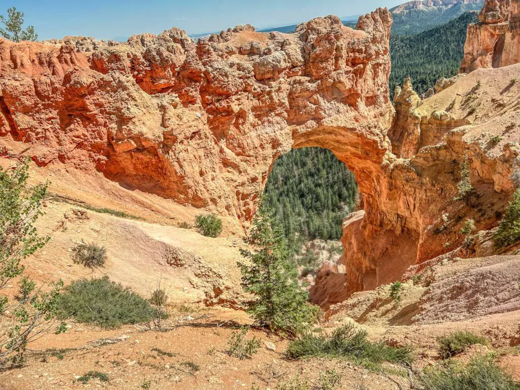
This viewpoint is another with a misleading name. The predominant feature, known as natural bridge, is actually an arch, formed as solid rock eroded away from the center of a hoodoo. The rock in Natural Arch is considered some of the reddest in all the park.
Bryce Canyon Southern Scenic Drive Stop Five: Fairview Point
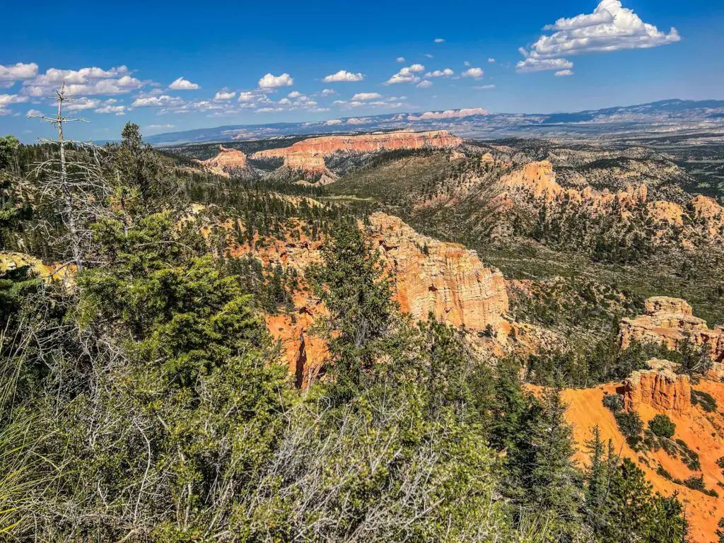
Step up to Fairview Point and catch a glimpse of the Henry and Navajo Mountain ranges over 80 miles away, way out on the Arizona border. Closer to your field of view, Ponderosa Pines march stridently up from the valley floor, framing valiant hoodoos still clinging to life in this rough arid terrain.
This is your one shot along the Southern Drive to step off the pavement and follow a 1,000-foot unpaved path toward Piracy Point. Here, you may recognize two large naval ships engaged in an epic and eternal battle. Or, your imagination may look past maritime warfare, and instead envision the two large buttes of Piracy Point as something of your own making. Either way, it’s worth the walk.
Public restrooms available
Bryce Canyon Southern Scenic Drive Stop Six: Swamp Canyon Overlook
The Swamp Canyon Overlook marks the transition from the Bryce amphitheater, where hoodoos abound in gentle friendship, to a steeper walled terrain filled with buttes. What’s the difference between a hoodoo and a butte, you may ask? Buttes are flat on top, while hoodoos sport more irregular formations.
This is also the trailhead for the Swamp Canyon loop trail. It’s an adventure we won’t fit into this Bryce Canyon one-day itinerary, but if you really have a hankering for tackling a strenuous 3–4-hour trek, feel free to swap this with the Queen’s Garden Trail mentioned at the beginning of this article.
Hitting the Easily Missed Viewpoints at Bryce Canyon Park – Bryce Point Road Area
As you continue your return trek down the Southern Scenic Drive road (Route 63), make sure you don’t miss the turn off onto Bryce Point Road. We did the first time we visited the park and missed out on some of the better scenes—if it’s possible to rank the tremendous scenery at Bryce.
The recommended route is to take Bryce Point road until it ends at Bryce Point. Here, the rock transitions from pink to stark white and gray, as windows open on the cliffside. You’ll want to take the short walk out to the overlook perched above the valley floor. These are views you don’t want to miss.
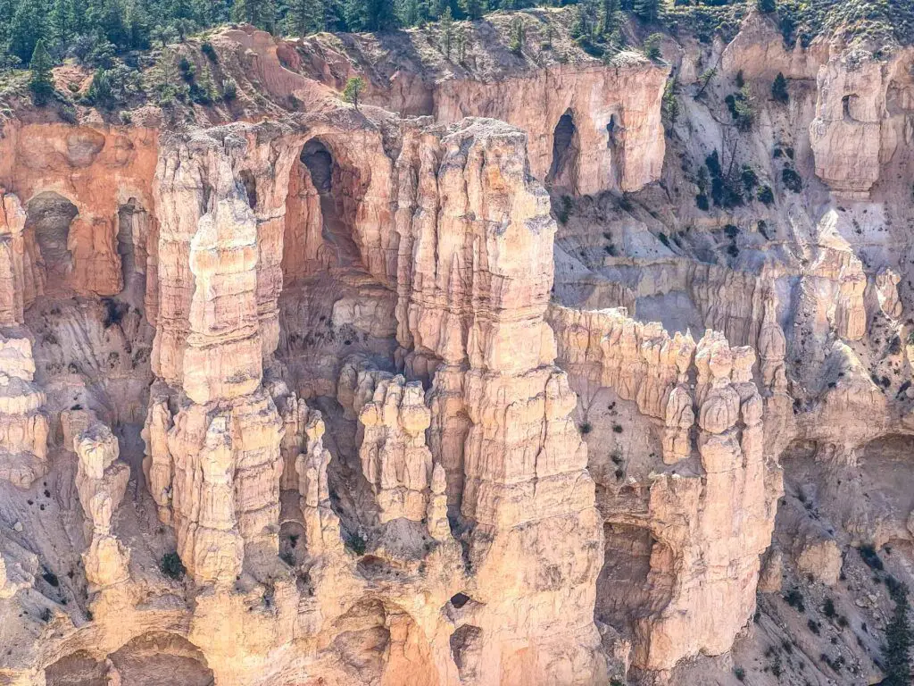
Head back out again, but make sure you take a left on Paria View Road. Second only to the sights along the Queen’s Garden Trail, this was my favorite place within the park. A gentle stroll leads through pines toward a valley overlook riddled with the colors that make Bryce so spectacular.
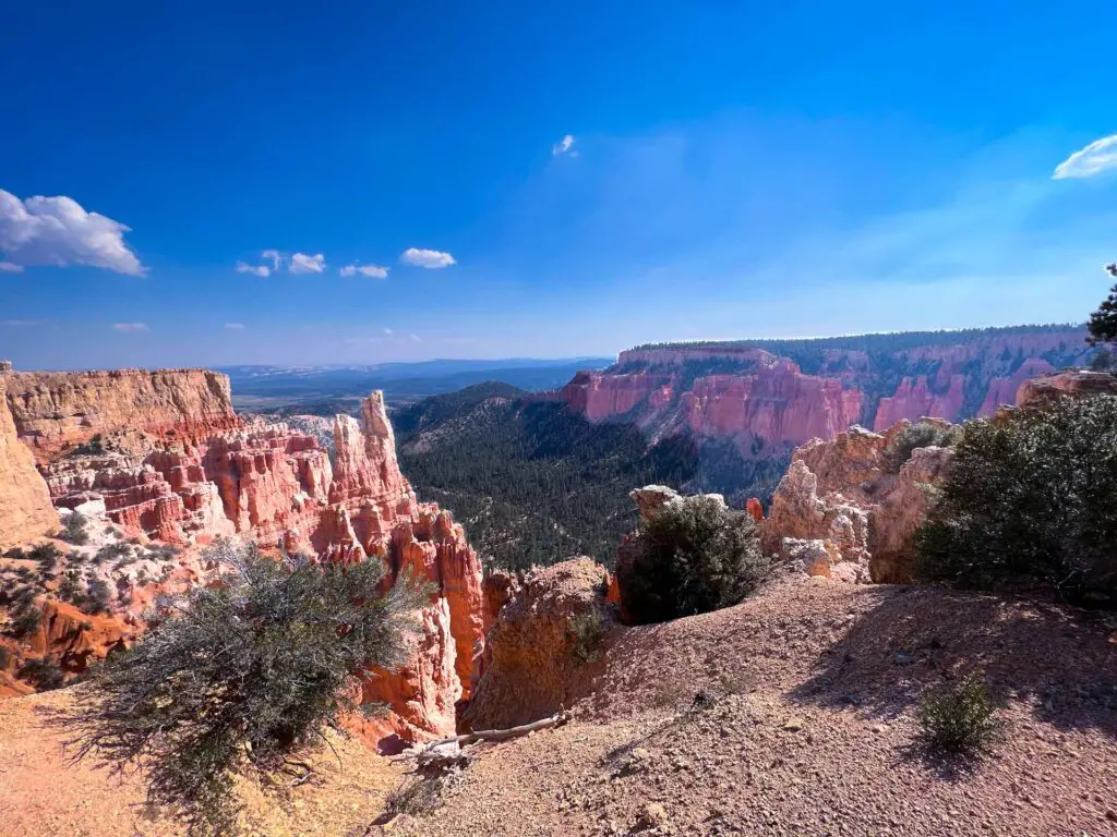
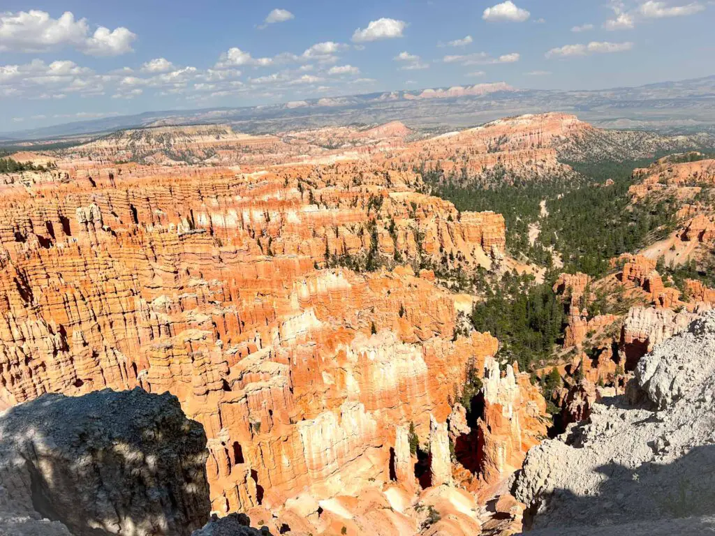
Heading back toward the Southern Scenic Drive again, be sure to make one more stop by taking a right on Inspiration Point Road. A series of 3 viewpoints dot the course of a .6-mile unpaved trail, allowing you to witness upper, lower and mid-Inspiration point. Along with the aforementioned Bryce point, it’s a chance to look down on the park’s hoodoo collection.
Nearing the End of Your Bryce Canyon One-Day Itinerary
As you drive back onto the Main Park Road from the points above, you’ve managed to hit all of the major highlights within the park proper, but your day isn’t over yet. Just past the main gates to the park is your second to the last stop of the day: Fairyland Viewpoint.
To reach this one, you’ll need to be astute and locate Fairyland Spur Road on the right. It’s a short drive to the viewpoint on the end and worth the trip to see some of the youngsters at Bryce Canyon park. Hoodoos here are younger than those found in the Bryce amphitheater, so you’ll see less erosion and more of the fine details.
Bryce Canyon One Day Itinerary Last Stop: Mossy Cave and Waterfall
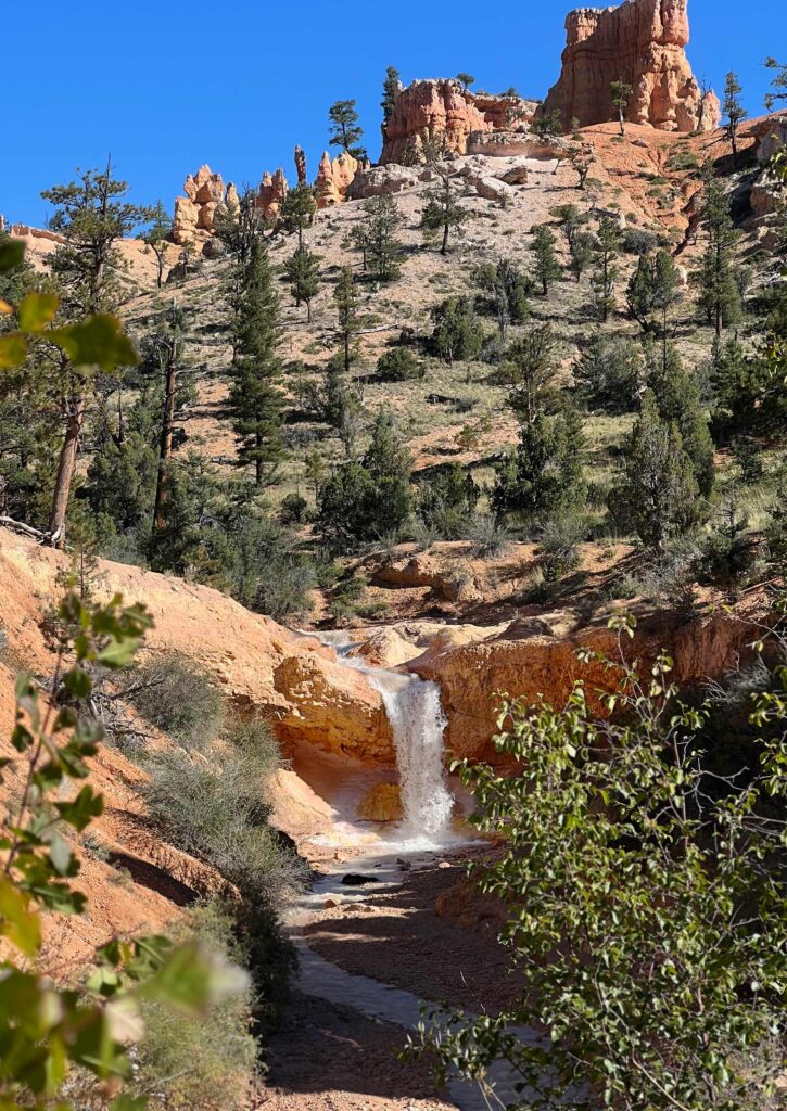
After leaving Fairland Point, take a right back onto Route 63. Follow it until you reach Route 12 and take a right. This will take you to the last point on our Bryce Canyon one-day tour: Mossy Cave.
By now, you’re probably feeling the strain of the earlier hike and a day spent walking scenic overlooks, but the 30 minutes you’ll spend hiking to the Mossy Cave and nearby waterfall are worth the effort.
The trail sets off roadside and meanders beside a rushing stream, before crossing the water twice on a series of bridges. Be sure to stop on the second bridge and enjoy the upstream view of the waterfall as this is likely to be one of the better views you get.
After you cross and head uphill, continue straight to reach the top of the falls and a small trail that leads up the stream. A left here will take you to Mossy Cave, where water drips from the rock cervices year round.

