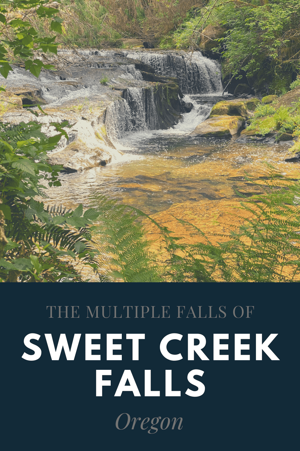
The Natural Rock Arch Trailhead begins high in the Santiam Wilderness. This special Oregon hiking trail takes you down a steep winding path through a magical forest to a special secret. At the bottom of the fern lined trail is a tall stone arch that remained undiscovered for years.
In 1951, the Sardine Creek fire ravaged the area and revealed nature’s hidden secret. The arch towers over the now short trees at 50 feet tall and 40 feet wide.
Table of Contents
Finding your Way to the Natural Rock Arch Trailhead
The Natural Rock Arch trailhead is not easy to access or find. But with a little preparation, you’ll be there in no time.
Starting off highway 22, coming from Gates, travel about four miles and then turn onto Niagara Heights Rd. From here, the road will turn to gravel, but most of it is easily accessible and smooth.
After 1.8 miles, the road will fork. Be sure to stay to the right. Then travel another 2.7 miles and turn right. You will pass one fork on your right before turning off. There are some small signs along the entire journey that will point you towards this Oregon hiking trail and the arch.
If you’re heading toward the Natural Rock Trailhead in winter, be cautious. Numerous hikers have reported slippery snow covered conditions and fallen trees during the colder months. Others have indicated that a 4-wheel drive is necessary due to washed out road conditions. If you don’t have a high clearance vehicle, it may be worth waiting until spring to head out to the Natural Rock Arch Trail in Oregon.
In any weather, the last leg of the journey to the trailhead is the most treacherous, and we were glad to have a higher clearance and four wheel drive vehicle for it. The road is steep and riddled with potholes, and even though we visited in the summer, the ground was still damp and slippery.
If you have a two-wheel drive car or one with low ground clearance, you may want to park it on the side of the road at the fork and hike up from there.
Reaching the Natural Rock Arch Trailhead

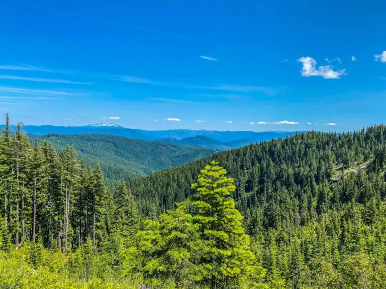
Once at the trailhead, we were greeted with far off views and confusion. At first, it was very hard to see where the trail starts. We wandered around the small parking area, (which is more of a large turnout,) for a bit.
Our adventure was riddled with mist and fog, and that did not help our search efforts. Eventually we found the start of this Oregon hiking trail a little bit before the curve in the road. A break in the ferns and plants emphasizes the trailhead a little bit in summer months after a few hikers have carved a path.
In the spring, before many hikers have blazed a trail, it might be harder to find. Just look down the road the way you just came and scout the left side of the parking turnout. If you keep walking down the road, you should find it, just as we did.
The Natural Arches Oregon Hiking Trail
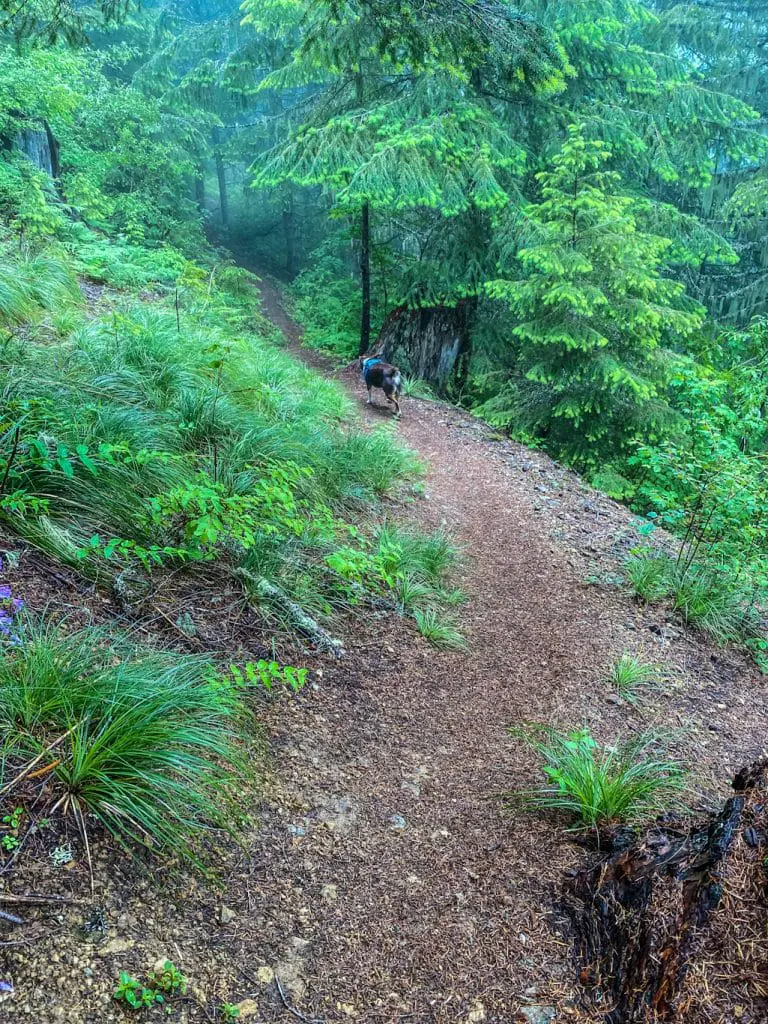
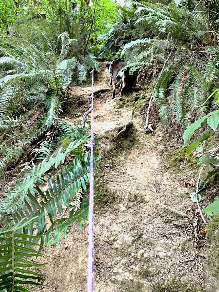
The Natural Rock Arch hiking trail immediately heads down, down, down traversing the side of the mountain through a series of switchbacks. The trail itself was a little slippery, and very steep. Hiking poles were a great addition for this trail, especially for my mom.
The switchbacks seem hard at first, but the rest of the trail becomes much more difficult. If you find you’re having trouble with the switchbacks, you may want to turn back before going farther.
Once the trail straightens out, it becomes steeper and the footing quality greatly reduces. We often found ourselves stepping down over exposed tree roots and rocks. A few sections of the trail seem to have washed out, so be sure to watch your footing.
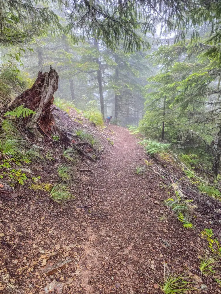
The trail keeps steepening until you think it cannot anymore, and then suddenly, the trees part, you round a great rock face and the secret is revealed.
The Natural Rock Arch
Oregon’s Natural Rock Arch seems like it was plucked directly from Arches National Park. The stone cliff faces fade upward and into the shape of the arch.
During our visit, the fog and mist gave an ominous feel to the towering stone. Loose rock pieces littered the ground and even began to shift and slide as we walked on them. On the upper and lower far side of the archway you can find some caves carved into the stone by time and weather.
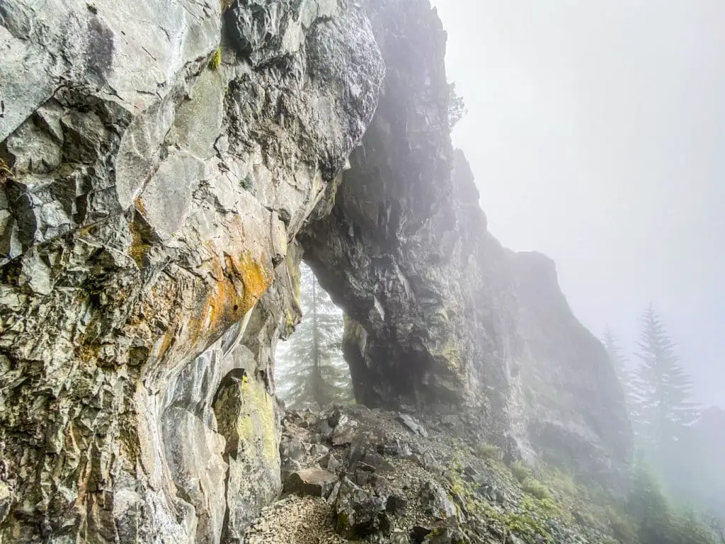
If you are on the cautious side, you should only attempt the upper caves. They are less impressive, but much safer to get to.
My sister and I easily found the caves by going through the archway and up towards the left. Mom stayed below to photograph the arch through the fog, and us as we climbed up.
The upper caves vary in depth and height. Some of them are short enough you would have to crouch down to enter, and some are tall enough that we could easily stand in. We found that many of the upper caves aren’t spectacular in depth. They are truly alcoves rather than an intense cave system like you would find in bend, but that are still fascinating.
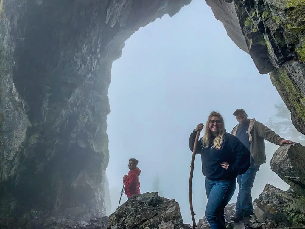
The lower caves may be deeper and more impressive, but unfortunately we did not make it all the way down to them. When attempting to make our way down to the lower caves, some of the stones came loose and we started to slip and slide down.
This path is the steepest part of the Oregon Hiking trail at the arches, and the most dangerous. Plus, while you can slide down, it is much harder to traverse back up.
Back to the Top of the Natural Rock Arch Trailhead
Speaking of traversing back up, the journey back to the Natural Rock Arch Trailhead is a strenuous one. If you did not have hiking poles for the way down, you will sure wish you had them now.
On the way back up, we found ourselves breathing heavily and needing many breaks. Be sure to watch every footfall and choose your foot placements carefully. The trail is well worn and can be very muddy. Also, take your time and take as many rests as you feel you need.
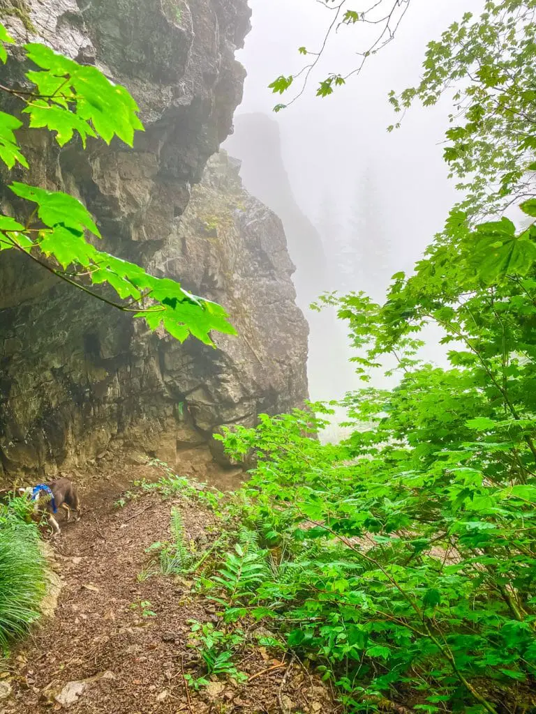
Before you know it, you’ll be back at the trailhead parking lot and can reward yourself for a journey completed.
What to Know About the Natural Rock Arch Trail in Oregon Before Heading Out
Trail Length: .5 miles
Elevation Gain: 400′ coming back from the arch
Difficulty Level: Difficult
Are Dogs Allowed: Yes, on leash
Oregon’s Natural Rock Arch stands 50 feet tall and spans 40 wide. The arch remained hidden from view until 1951 when the Sardine Creek fire burned over 20,000 acres, reveal the majestic stone structure.
Nearby Trail: Dedicated hikers may wish to continue from the Natural Rock Arch to the Rocky Top Trail. To reach the Rocky Top Trailhead, continue drviing northwest up the road after returning to your vehicle from the Natural Rock Arch Trailhead. Rocky Top Trail head is 2.2 miles up on the left and is signed. Expect a steep climb up to a final elevation of 5,010 feet. While an old fire tower has been dismantled and hauled away, the views from the stop are still expansive and spectacular.


