Last update: Jan. 18, 2025
While we aren’t even close to covering every trail, Oregon hiking is one of our favorite activities. As a result, we’ve logged some foot miles and have done some extensive research to fill up our bucket list with future adventures. Below are some of the best Oregon hiking trails we’ve experienced and how we’ll be spending much of our time for years to come, as we seek some of Oregon’s most scenic places.
Table of Contents
Oregon Gorge Hikes
It took us awhile, but we finaly visited one of Oregon’s most famous gorges: The Columbia River Gorge. It was perfect timing as many of the trails due to the Eagle Creek Fire were reopening. We set out with great enthusiasm only to find we were joined by a vast number of like-minded trail enthusiasts. As a result, we didn’t get to all of these trails but have them slated for future adventures.
Oregon Hiking on the Eagle Creek Trail – Now Open
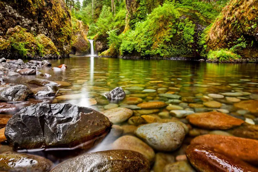
- Distance: 12 miles round trip
- Difficulty: Moderate
- Type: Out and Back
- Seasons: Year Round
- Are dogs allowed on the Eagle Creek Trail: Leashed dogs are welcome, though some sections of the trail are narrow with high drop-offs, so caution is urged.
Look at any Oregon hiking guide and you’re likely to see the Eagle Creek trail. In fact, the over 6-mile trek to Tunnel Falls is one of the most popular adventures in the Columbia River Gorge. Passing multiple waterfalls, traversing footbridges and taking you through trails once blasted out of bedrock, this adventure comes with a few warnings.
First, if you’re deathly afraid of heights, you might want to sit this one out. Parts of the trail are lined with sheer cliff faces, also making it an unlikely prospect for a family hike, at least if you have small children.
Also, this trail makes its way into various forest jurisdictions. Expect to fill out a day-use pass while on the trail as you enter the Hatfield Wilderness.
However, if you aren’t up to the full 12 mile round-trip adventure, you can turn around at High Bridge, one of only two places where the trail crosses Eagle Creek. It does so here in style, 120 feet over the water flowing below. Turning around after crossing the bridge will shorten your journey to just over 6 miles in and out.
If you want to fit more in the day and only take in a sampling of what the Eagle Creek Trail has to offer, cut your trip short at Punchbowl Falls, another one of Oregon’s iconic classics. Heading back from here will turn your 12-mile trek into a much more manageable 3.8-mile hike.
Why We Love the Eagle Creek Trail:
- Waterfalls: Punch Bowl Falls, Loowit Falls, High Bridge Falls and many others.
- Old growth forest
- The potholes: bowl-shaped manmade formations created as basalt was blasted to create the trail
- Tunnel Falls: Early trail builders blasted a tunnel behind this 160-foot water drop, allowing hikers to not only walk behind the falls, but travel through part of the mountain to reach a different vantage point.
- Twister Falls: By taking an additional half mile trek beyond tunnel falls, you’ll come to Twister Falls, passing through some of the most stunning scenery
Mosier Twin Tunnels Hike
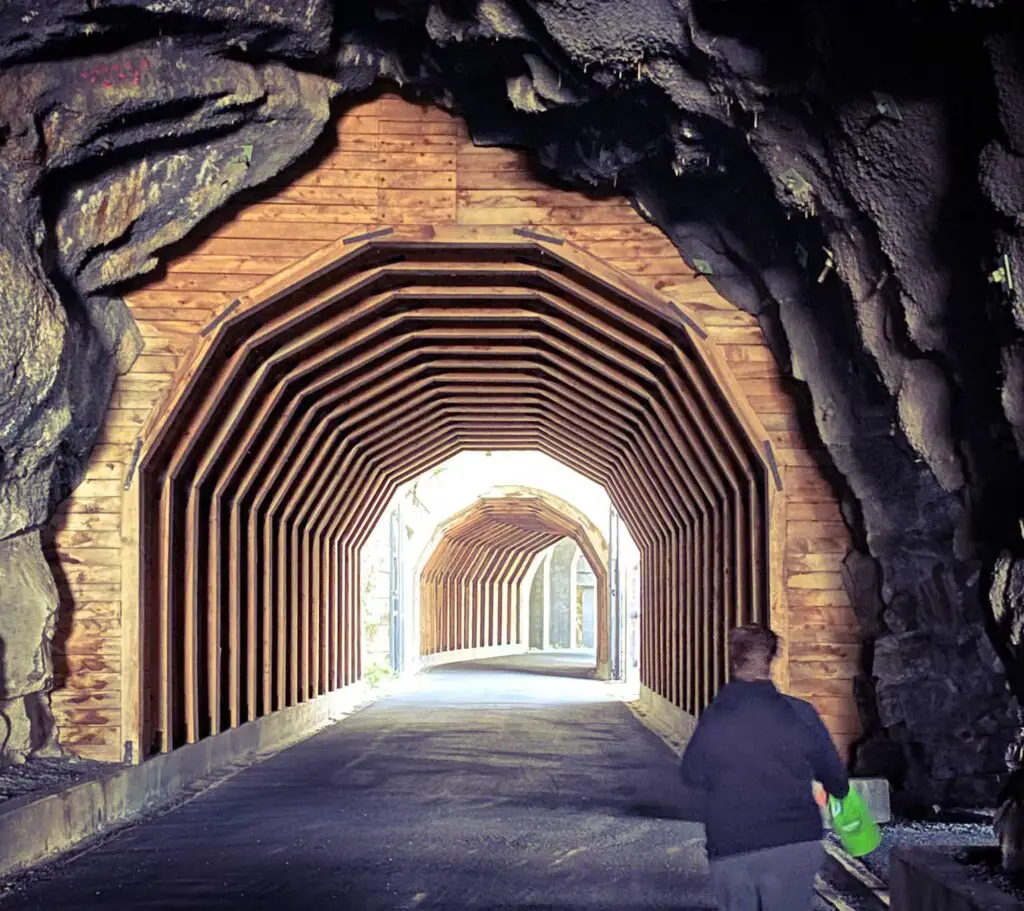
- Distance: 8.5 miles round trip
- Difficulty: Easy
- Type: Out and back
- Seasons: Year round
- Are dogs allowed on the Mosier Twin Tunnel Trail: Leashed dogs are welcome
For a different sort of view from the usual Oregon beauty, we took a jaunt down the now abandoned Columbia River Highway built in 1921. This original byway includes two tunnels blasted through rocks in a high cliff face.
Throughout the usable history of the road, the tunnels were problematic, prone to rockslides and road closures. In fact, motorists were stranded inside the tunnel in 1921 when a snowstorm made the road impassable and interrupted travel plans.
In 1954, a more modern road was built following the river course, completely eclipsing the historic highway, until hikers located the tunnels, completely filled with rocks and debris.
Since then, the historic roadway has been restored, as have the Mosier Twin Tunnels, offering a can’t-be-missed hike along the Historic Columbia River Highway State Trail.
Why We Love the Mosier Twin Tunnels Hike:
- View of Eighteen Mile Island looking over historic stone guardrails atop the old highway
- Splendid scenic river views
- Self-tour of the scenic Mosier Twin Tunnels, complete with graffiti left by stranded motorists in 1921
Multnomah Falls Trail
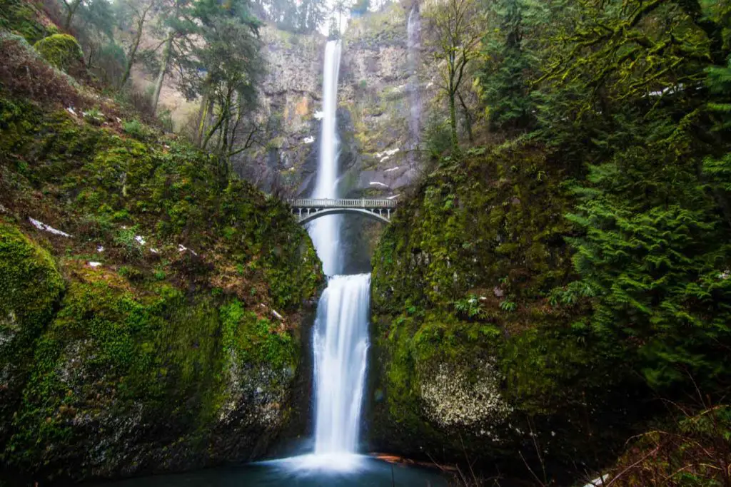
- Distance: 2.6 miles round trip
- Difficulty: Easy
- Type: Out and Back
- Seasons: Year Round
- Are Dogs Allowed Mosier Twin Tunnel Trail: Leashed dogs are welcome
While short and sweet compared to some of the Gorge’s other trails, it’s hard to pass up the chance to see what is likely Oregon’s most iconic waterfall. Located on land donated by timber baron, Simon Benson, the trail crosses the well-photographed bridge built by the benefactor, offering a staggering view of the upper and lower falls.
Multnomah Falls actually incorporates three drops into its majesty, for a total cascade of 635 feet. You’ll pick up the trail at the Multnomah Falls Lodge. From there, you’ll climb a slight incline to the famous mid-fall bridge. It’s one of Oregon’s most iconic sights, but for bigger thrill and more waterfall eye candy, take the steeply switching trail to the Multnomah Falls viewpoint.
Once you cross the now iconic bridge dissecting the falls, you’re in for a treat. Fifteen switchbacks take you on an arduous journey to the top of the falls. You’ll gain stunning Columbia River views and the chance to peer over the top edge of the mighty Multnomah.
Why We Love the Multnomah Falls Trail include:
- Views of Multnomah Falls
- An up-front education on the devastation caused by forest fires as you cross through land burned in 2017
- Benson Bridge and the lower viewpoint of Multnomah Falls, one of the most photographed of all Oregon destinations
- View from the top of Multnomah Falls looking down the cascade.
For a complete review of what to expect on the trail, visit our Multnomah Falls Hiking Post.
Starvation Creek Waterfalls Hike
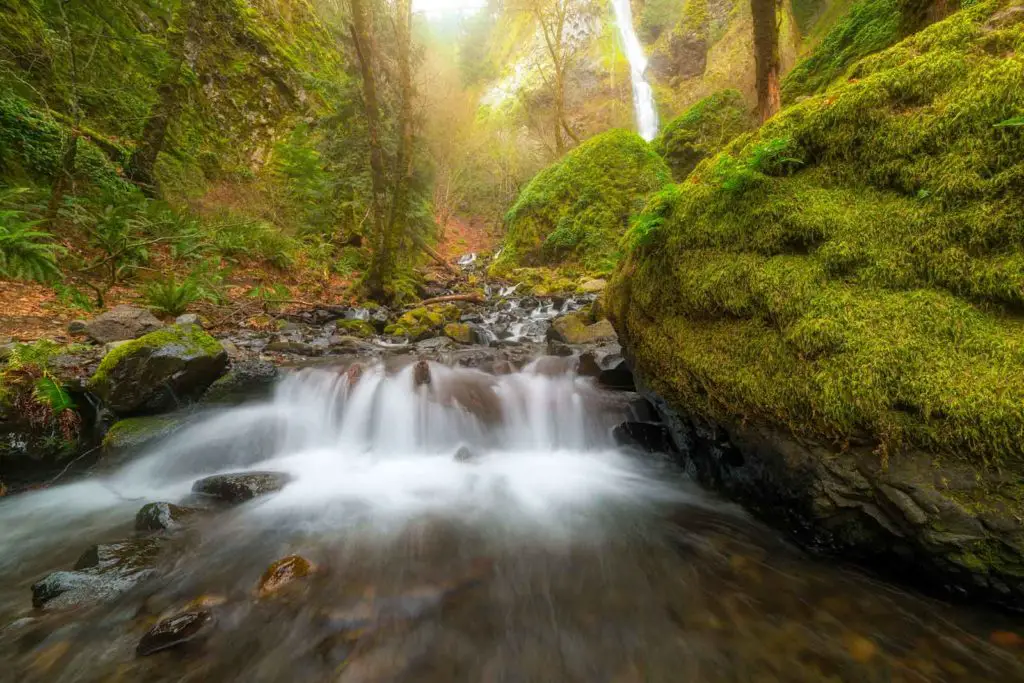
- Distance: 4.3 miles round trip
- Difficulty: Easy
- Type: Out and Back
- Seasons: Year Round
- Are Dogs Allowed on the Starvation Creek Waterfalls hike: Yes, if leashed
See a multitude of Columbia River Gorge waterfalls in a single, easily accessible hike from Starvation Falls State Park, including one rare manmade specimen. You’ll even learn how the ridge got its name with a commemorative plaque that shares the story of a train stranded on the ridge by snow in 1884. Fortunately, passengers were saved from starvation by nearby residents who skied in supplies, but the name has stuck.
You’ll begin by taking a short spur trail to 190-foot Starvation Falls. Doubling back and picking up the Starvation Ridge trail from the state park lot, the real fun begins. You’ll travel the restored section of the historic Columbia River Highway to the two-tiered Cabin Creek Falls. Coming in at 220-feet tall, it’s one of the highest on the ridge trail.
Traveling onward, you’ll take a short detour along the Mount Defiance trail, heading west. Soon, you’ll encounter the manmade marvel, Hole in the Wall Falls, created by highway workers in 1938 to re-channel the Warren Creek. Continuing on, you’ll view the lower portion of the Lancaster Falls located right next to the trail. You’ll probably want to avoid the impressive upper falls though, as poison oak is proliferous through this section of the trail.
Turn around here and head back the way you came until you reach the parking lot again.
Why We Love the Starvation Creek Waterfalls hike:
- Views of the Columbia River Gorge
- An up-close view of the historic highway path
- 4 waterfalls in a single stretch
Wahclella Falls Loop Hike
- Distance: 2.4 miles round trip
- Difficulty: Moderate
- Type: Out and Back
- Seasons: Year Round
- Are Dogs Allowed on the Wahclella Falls hike: Yes, if leashed
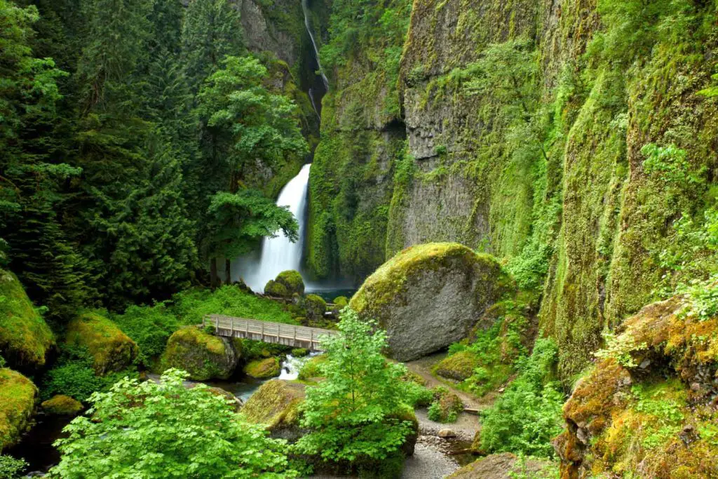
While once a loop hike, the Eagle Creek fire in 2017 put an end to the lollipop excursion as well as a large portion of the greenery. However, the large amphitheater of the falls themselves is still worth the effort.
Pick up the trail from the Wahclella Falls Trailhead and hoof it until you reach a small dam. You’ll want to take some time to peek at the fish ladder managed by the Bonneville hatchery before heading down the narrowing trail to footbridge and the stunning cascade of Munra Falls. Given its close proximity to the trail, don’t be surprised if you feel the spray.
You’ll begin a climb here, so be careful of the steep trailside drop offs. Fire damage also becomes more noticeable as you make your way up, and several trail improvements have been made to ensure hiker safety.
A set of stairs takes you to a former fork in the trail. One side forms the now closed loop section, so continue heading downward. You’ll soon reach the 350-foot two-tiered Wahclella Falls and splash pool.
WARNING: The USDA Forest Service does not recommend hiking this trail within 48 hours of heavy rain or snow. Fire damage to the area has resulted in fragile environment prone to slides and tree falls.
Why We Love the Wahclella Falls Loop Hike
- An up-front education on the devastation caused by forest fires as you cross through land burned in 2017
- House-sized boulders left by a 1973 landslide
- Possibly spawning salmon at the base of the falls
Horsetail and Ponytail Falls
- Distance: 1 mile round trip
- Difficulty: Moderate
- Type: Out and Back
- Seasons: Year Round
- Are Dogs Allowed on the Horsetail and Ponytail Falls hike: Yes, if leashed
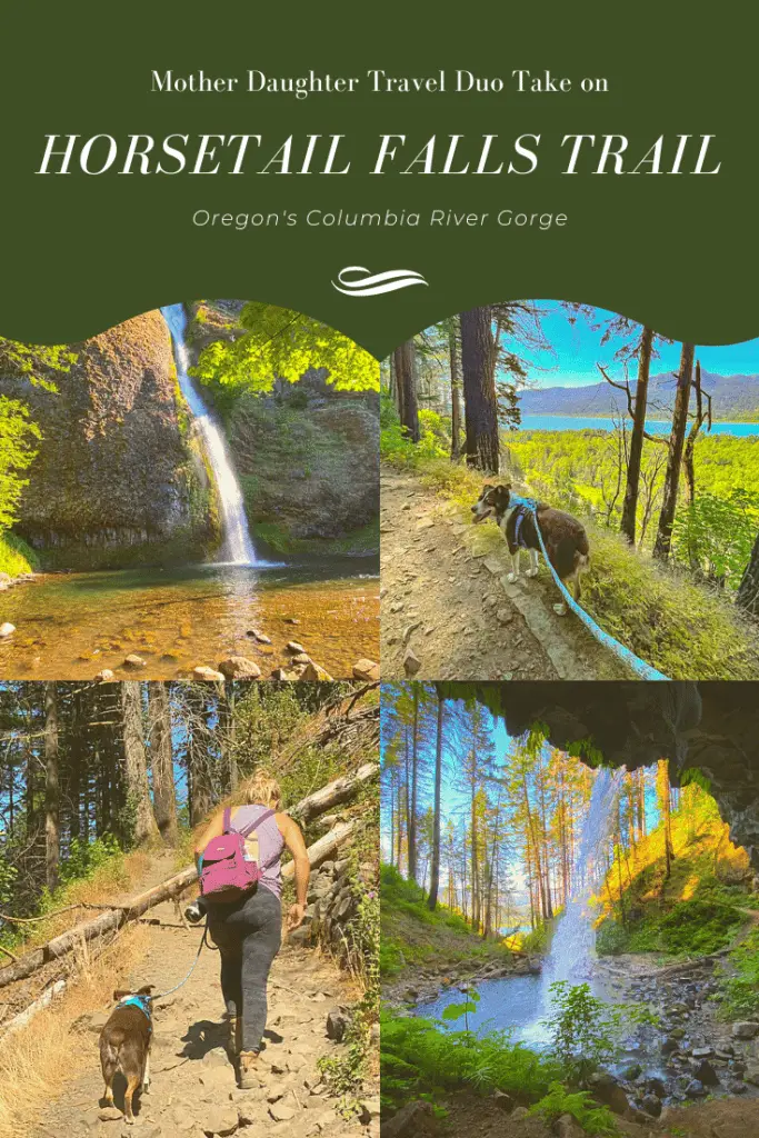
The “hike” to Horsetail Falls cannot be considered a hike, but more a jaunt across the road. Horsetail Falls lies directly on Highway 30, across the street from the trailhead parking lot.
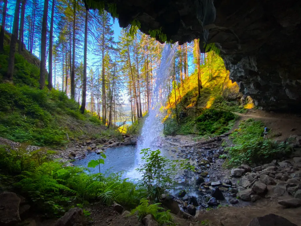
Ponytail Falls on the other hand, which is the upper fall of this system, can officially be added to our list of best hiking trails in Oregon. This hike is steep, and quite the workout, but the energy you burn will be worth it once you make it to the falls.
After traversing the steep inclines and switchbacks of this moderate hike, you will be awarded with a glimpse of Ponytail Falls through the trees. Keep walking, and you’ll soon make it to the base of the falls where a large cavernous cave allows you to walk behind the falling cascade. From there, the water flows downriver a bit, before dropping off the cliff and making its way to Horse tail Falls below.
This hike is moderate, a bit steep, and has some sections in the hot sun. The hike totals just under a mile total, and is an out and back style trail. If you wish to hike further after the falls, simply follow the same trail for an additional 7/10ths of a mile to lower Oneonta Falls.
Best Oregon Waterfall Hiking Trails
A quick glance through the Oregon section of our site will show you that we’re a sucker for a good waterfall. Lucky for us (and you), Oregon is full of hiking trails with plunges and cascades. These are some of the best we’ve found, as well as a few we plan to visit on future adventures.
Oregon Hiking the Trail of Ten Waterfalls
- Distance: 7.2 miles round trip
- Difficulty: Easy
- Type: Loop
- Seasons: Year Round
- Are Dogs Allowed on the Trail of Ten Waterfalls hike: No
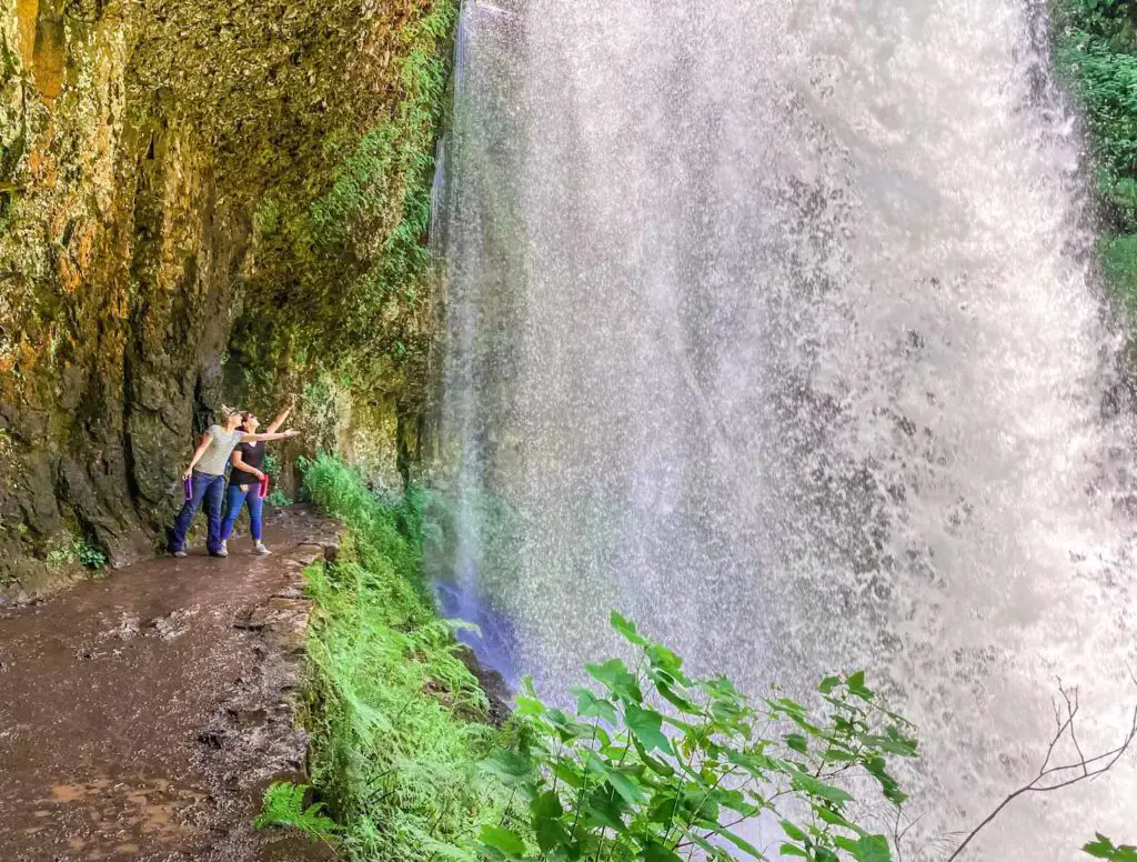
Many Oregon hiking spots include a waterfall or two, but there are few trails that take you to ten spectacular plunges, including a behind-the-scenes peak of the 177-foot South Falls. If you’ve ever wanted to see the backside of water, then here is your chance. This trail meanders behind a few different cascades as you trek through a rocky canyon on mostly flat, sure-footed trails.
Your adventure for the day begins easily enough from the parking area of Silver Falls State park, before heading off to your first fall of the day, the North Falls, and one of the first walk-behind plunges.
For a complete review of what to expect on the trail, see our Silver Falls State Park post.
Why We Love the Trail of Ten Waterfalls Hike
- Main Concession Building and the South Falls Lodge built by the Civilian Conservation Corp
- 10+ waterfalls in a single day trip
McDowell Creek Falls
- Distance: 1.8 miles round trip
- Difficulty: Moderate
- Type: Loop
- Seasons: Year Round – best winter through spring
- Are Dogs Allowed on the McDowell Creek Falls hike: Yes, on leash
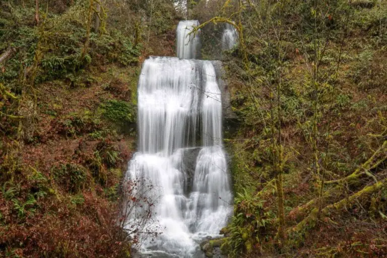
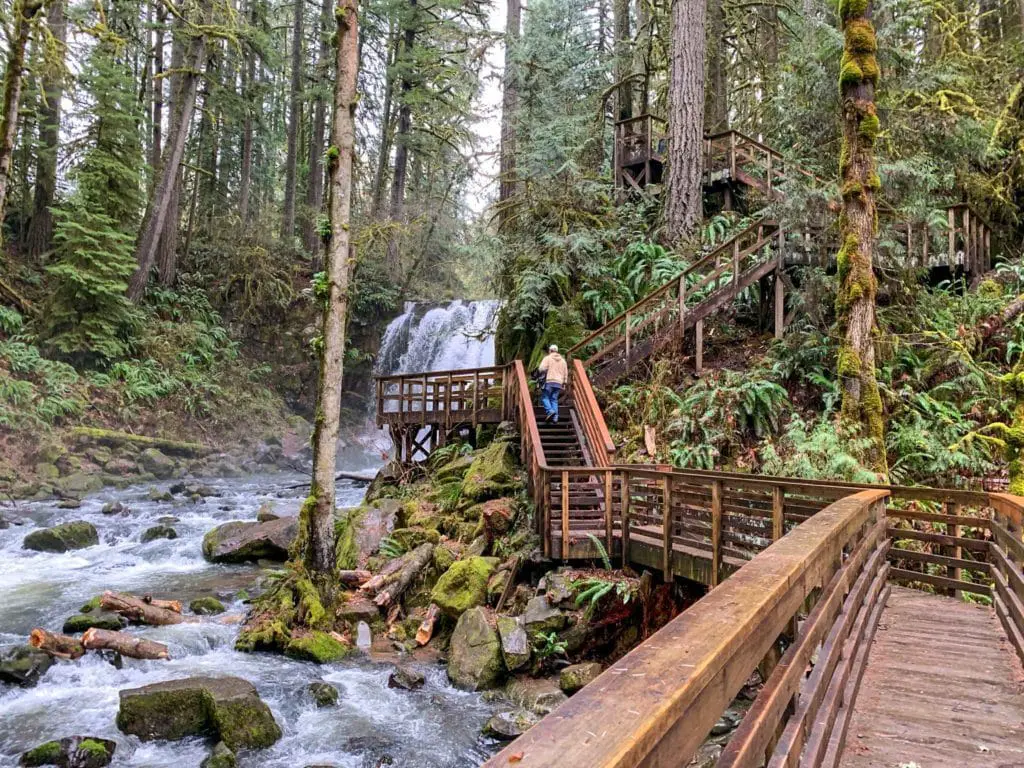
The McDowell Creek Falls hike was spectacular in February the first time we visited, with signature Royal Terrace double-tiered fall roaring a curtain of plunging white. Our summer visit was a different story, starring a much smaller trickle, but providing a view of the fall’s understory and a changed adventure from the drizzly winter day.
We actually enjoyed both experiences but would recommend you hike McDowell Creek when the water is flowing. That’s winter through spring, before the rains stop.
You’ll pick up the trail from the parking area just north of Sweet Home and travel a wooden footbridge to reach the trail. From there, it’s a series of upward climbs and wooden walkways to the Majestic Falls. A loop through heavy woodland brings you back to the precipice of Royal Terrace Falls and a steep and mythical stone stairway back to the base.
For a complete and more detailed review, be sure to reach our McDowell Creek Hike expose.
Yaquina Falls Hike- Slightly Treacherous Oregon Hike
- Distance: ~2 miles round trip
- Difficulty: Difficult
- Type: Out and back
- Seasons: Summer and fall – best when ground is dry
- Are Dogs Allowed on the McDowell Creek Falls hike: Yes
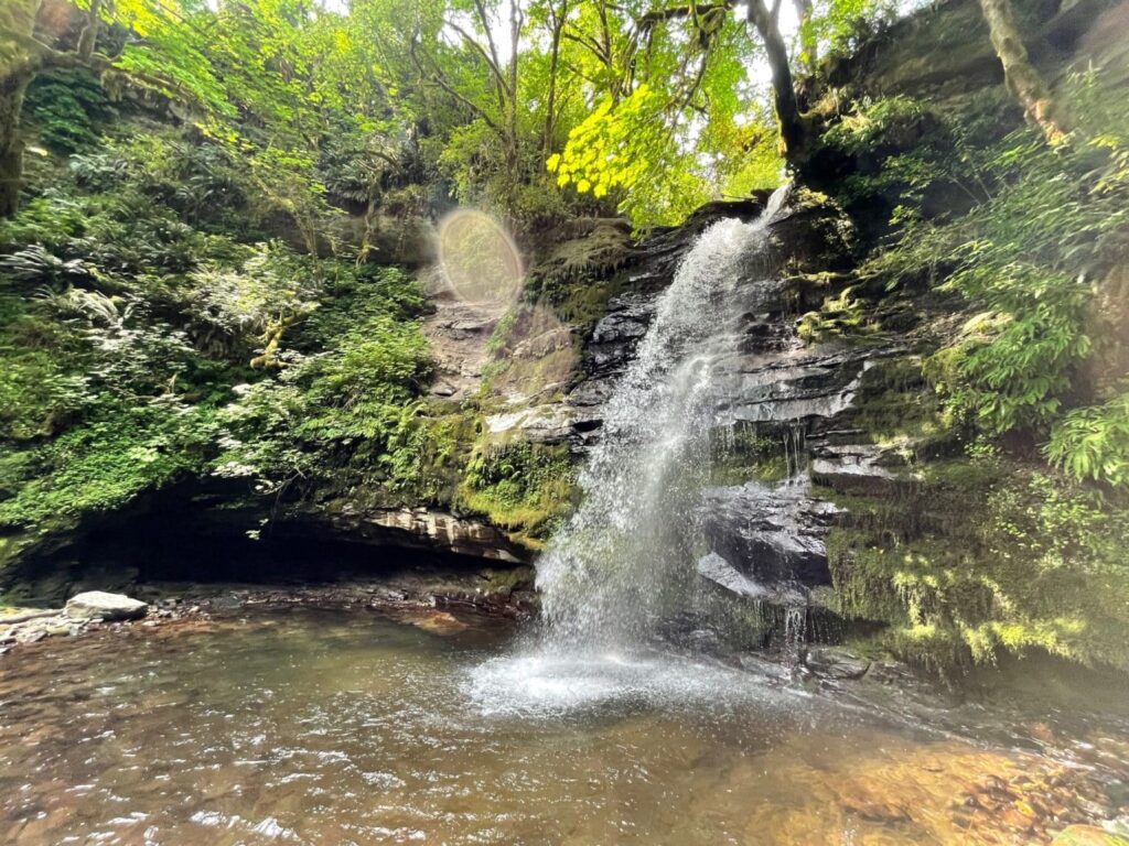
Yaquina Falls is one of the best Oregon hikes for those with a thirst for adventure. The falls are quite a trek. First you’ll have to walk a mile down the logging road, and then find a hidden trail to the right, marked by some carvings in a tree.
This trail and waterfall is an Oregon secret, known mainly by locals, and legends. The trail itself is steep, with old ropes serving as hand holds to help keep you from falling.
At the bottom of the hike, you will find a hidden waterfall, with a serene pool at the bottom.
To find Yaquina Falls, you can use the following coordinates:
Coordinates: 44.71007, -123.59027
Elevation: 637 feet
USGS Map: Summit 7 1/2″
For more information, be sure to read our entire Yaquina Falls adventure here.
Koosah and Sahalie Falls
- Distance: 2.6 miles round trip
- Difficulty: Easy
- Type: Loop
- Seasons: Year Round – mid-spring through fall
- Are Dogs Allowed on the Koosah and Sahalie Falls hike: Yes, on leash
Steeped in the heart of the McKenzie River Corridor are two of Oregon’s most spectacular waterfalls. You’ll travel through sky (Koosah Falls) to Heaven (Sahalie Falls) and back again. At least that’s how the Native Americans who named the twin wonders looked at the experience.
In reality, you’ll pick up a moderately trafficked portion of the McKenzie River National Recreation trail, a 26.4 mile excursion that begins at the base of Mt. Washington in an ancient lava bed and winds through the Willamette National Forest.
To transcend from earth to heaven and back again, you’ll need to begin the hike at the Carmen Reservoir, the lowest elevation point of the loop. From here, Waterfall Loop Trail #3503 travels uphill along the eastern edge of the McKenzie River. Taking this journey, you’ll encounter Koosah Falls (sky) first, before ascending to the heavenly Sahalie Falls.
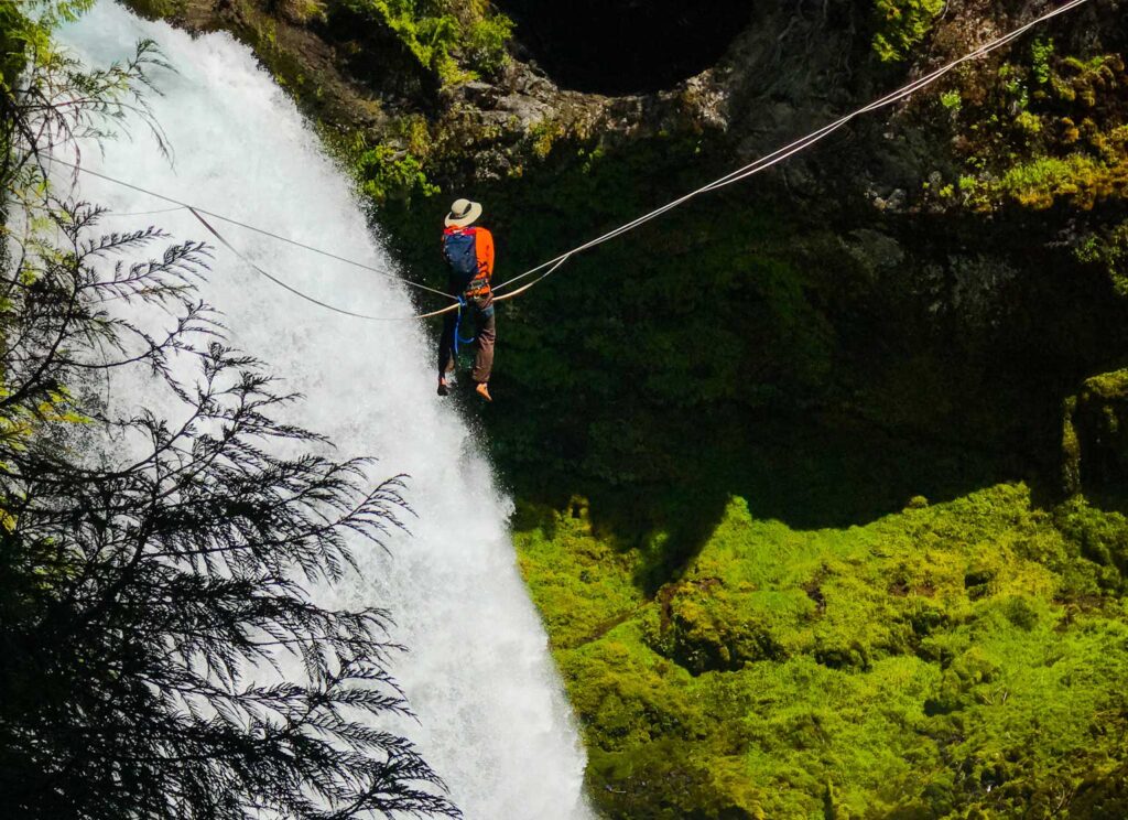
Or you can do what we (and many others) have done and jump right up to heaven via a crowded parking lot off of Highway 126 in the Willamette National Forest. You’ll pass through old growth timber of impressive size before quickly reaching the midpoint uppermost viewpoint overlooking the 100-foot tall Sahalie Falls. We were joined by several slackline enthusiasts attempting to “walk” the top of the heavenly cascade.
Koosah Falls is another gem, located on the downside of the loop, offering a quieter and more serene adventure, with two stonewalled viewing areas.
For complete details on visiting these falls, be sure to read our trip review of the Koosah and Sahalie Falls hike.
Alsea Falls and Green Peak Falls – More Waterfalls on the list of Best Oregon Hiking Trails
- Distance: 4.2 miles round trip
- Difficulty: Easy
- Type: in and out
- Seasons: Year Round
- Are Dogs Allowed on the Koosah and Sahalie Falls hike: Yes, on leash
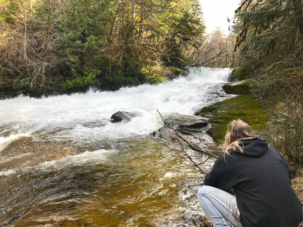
Alsea Falls Trail is another Oregon hike that leads to two waterfalls. The trailhead begins a half mile from the Alsea campground.
Shortly after you enter the trail, you will stumble upon the 30 foot tall Alsea Falls. From there the trail continues through old growth forests to the 45-foot tall Green Peak Falls. We got adventurous at Green Peak Falls and used ropes tied at the top to climb our way up to the start of the falls for additional views.
Unfortunately, not many people make it much past Alsea Falls and miss out on the magnificent trees as well as the second cascade. We got adventurous during our hike and used the ropes beside the falls to hoist our way to the top.
The Alsea and Green Peak trails are fairly easy with some moderation in slope and uneven ground. The traffic is heavy the closer you are to the trailhead.
Drift Creek Falls- Possibly the Most Recognized of Oregon’s Best Hiking Trails
- Distance: 3.7 miles round trip
- Difficulty: Moderate
- Type: in and out
- Seasons: Year Round
- Are Dogs Allowed on the Koosah and Sahalie Falls hike: Yes, on leash
Drift Creek falls is a moderate 3.7 mile out and back trail that ends in (you guessed it,) another waterfall, and a surprise. After walking through dense forest and working your way around large trees, the sky seems to open, and Drift Creek Bridge comes into view.
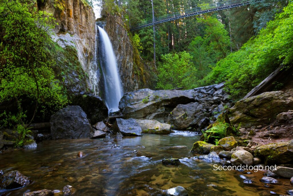
100 feet above the river, the 240-foot long Drift Creek Suspension Bridge stands tall. The bridge provides a unique vantage point into the falls below and a bit of a challenge, as the structure does tend to sway as you walk.
Once on across the bridge, you can choose to make your way down the staircase for a view of the falls from bottom, where there is a pool for fishing and swimming in the warmer months. Picnic tables provide a place to sit to take in the beauty.
Once you have absorbed the splendor and surprise of Drift Creek Falls and Suspension Bridge, you can hike back the way you came on one of the best Oregon hiking trails, or take the fork to the right to complete the Drift Creek Falls Loop.
The trailhead has a vault restroom and limited parking. The trail itself is heavily trafficked and has some inclines and declines.
Best Oregon Hiking Trails through Ancient Forests
Despite the fact that Oregon is a logging state, you’ll still find several old-growth specimens around. In some areas, you can even visit an entire forest of ancient trees. These are our favorite picks, including a few still on the bucket list.
Valley of the Giants
- Distance: 1.4 miles round trip
- Difficulty: Easy
- Type: Loop
- Seasons: Mid-spring through fall are best
- Are Dogs Allowed at Valley of the Giants: Yes
It isn’t easy to find, but you’ll be well rewarded when you get there. The Valley of the Giants near the now abandoned town of Siletz, is an old growth forest carved out of prime logging land. Getting there requires the use of both public and private roads which may be intermittently closed, or worse, in use.
There have been many close calls with trucks and visitors who are unaware of how a business like logging works and the speed the vehicles use when transporting timber. For that reason, it’s recommended that you visit this Oregon hiking trail on the weekend.
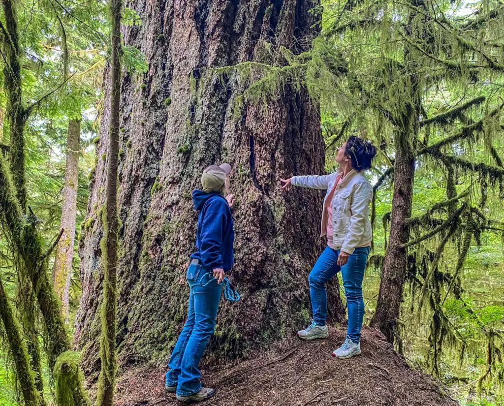
Once you reach the Valley of the Giants, however, all else fades away. Light filters softly through trees of this size, and one of first things you’ll realize is that the tops are a long way up. Later you’ll see that these early sentinels in your path were the babies of the forest.
The 51 acres that comprise the Valley of the Giants has protected 400-year-old behemoths from the ax since 1976. In that time, many of the giants have reached 200 feet tall and measure a whopping 20 feet in circumference.
A simple loop trail will lead you through the majesty and given how hard it is to reach this spot, you’re likely to be alone as you commune with the giants.
For more details about visiting, including the best way to reach this sacred grove, read our article on the Valley of the Giants.
Hackleman Old Growth Trail
- Distance: 1.4 miles round trip
- Difficulty: Easy
- Type: 2 Loops
- Seasons: Mid-spring through fall are best
- Are Dogs Allowed on the Hackleman Old Growth Trail: Yes
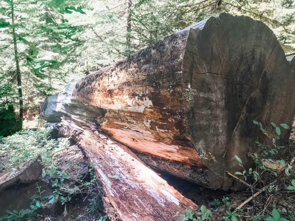
It may not be the Valley of the Giants, but the Hackleman Old Growth trail located along the Over the River and Through the Woods Scenic Byway in the Willamette National Forest features some pretty impressive old trees. And if that sounds trite, it isn’t meant to be. After all, who could trivialize Red Cedars and Red Hemlocks that have survived 500 years of flood, fire and wind.
There are two trails that make up the Hackleman Old Growth Trail. The first leads directly from the parking lot on Highway 20 and makes a quick 1- mile loop through the forest on fairly packed gravel.
Following the course of the Old Santiam Wagon Road, this part of the trail is deemed wheelchair accessible by the U.S Department of Agriculture Forest Service. However, the same organization notes “that the wheelchair access is considered difficult due to grade.”
There is one particularly impressive specimen located along this portion of the trail, but you’ll need to tackle the spur trail to see more of the Hackleman Old Growth. Both trails together make a short and sweet excursion, with some opportunities to mingle with Oregon’s old growth beauties.
Visiting this trail is best combined with a road trip across the Over the River and Through the Woods Scenic Byway or by combining your hike with other nearby stops. For a complete guide of this area, read our blog on the Willamette National Forest.
Why We Love the Hackleman Old Growth Trail:
- Visit the old Santiam Wagon Road, a primary route of travel during the state’s early colonization
- Chance to view the Hackleman trout as you walk along the Hackleman Creek, a subspecies of cutthroat trout
Cape Perpetua Giant Spruce Trail
- Distance: 2 miles round trip
- Difficulty: Easy
- Type: Out and back
- Seasons: Year round
- Are Dogs Allowed on the Cape Perpetua Giant Spruce Trail: Yes
A two-mile hike to view one tree may sound anticlimactic after reading about the previous 2 trails, but this 500-year old Sitka spruce is worth the trek.
The journey follows Cape Creek through a fairyland of lush ferns, and big trees. None of them, however, marvel the granddady waiting at the end of the trail. The giant spruce is more than 185 feet tall with a circumference of 40 feet. at the base is a small cavity large enough for a medium size dog to trot through.
Why We Love the Giant Spruce Trail:
- Visit Cape Perpetua, one of the coast’s most scenic natural attractions
- Enjoy a lush tropical-like forest and peaceful environs
Oregon Hiking to Fire Lookouts
Given the state’s recent misfortune with wildfires, it should come as no surprise that the ridges and mountaintops are hiding a number of fire towers, some still active, others defunct. Hiking to these destinations usually takes a bit of work but rewards you with some stunning views.
Coffin Mountain Fire Lookout
- Distance: 2.8 miles round trip
- Difficulty: Moderate
- Type: out and back
- Seasons: June-October (June and July best for wildflowers)
- Are Dogs Allowed on the Trail: Yes
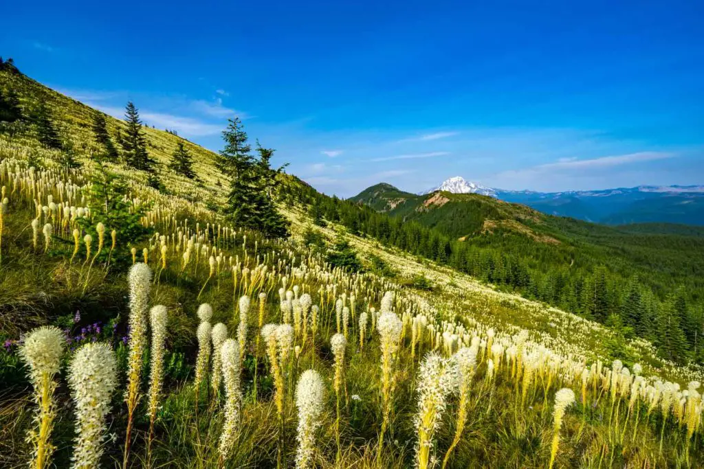
For little more than a few hours of your time, the hike to Coffin Mountain offers stunning views of Mt. Jefferson and an abundance of wildflowers if you time it right. Crowning the top of Coffin Mountain is an active working fire tower. Forest service personnel still live and work at this facility, so please be respectful and don’t try to enter the tower unless invited to do so.
The hike up Coffin Mountain is located in the Willamette National Forest.
Why We Love the Coffin Mountain Trail:
- Views of Mt. Jefferson and Detroit Lake
- Chance to see the historic Coffin Mountain Lookout
Black Butte
- Distance: 4 miles round trip
- Difficulty: Moderate
- Type: out and back
- Seasons: June-October (June and July best for wildflowers)
- Are Dogs Allowed on the Trail: Yes
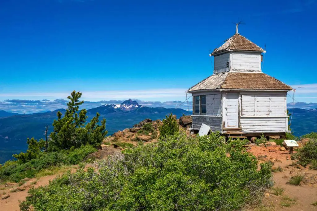
For a mere 6,436 feet in elevation gain you can hike to the summit of Black Butte where not one, but three separate fire lookout structures can be viewed. The first is a 62-foot-tall lookout tower. The other two include an old D-6 Cupola, an historic structure built in 1923, featuring a 1/4 sized second floor observatory on top of a 12’x12’ main floor.
The second is a cabin built in 1980 which can still be found in use during the fire season. Unfortunately, all are closed and off limits for exploration but can be freely photographed.
The Black Butte hike is located near Sisters.
Why We Love the Black Butte Trail:
- 3 historic fire watch structures
- Views of Three Fingered Jack, Mt. Washington, North Sister, Middle Sister, South Sister, Broken Top, Mount Jefferson, and Mt. Hood
Gold Butte
- Distance: 3.2 miles round trip
- Difficulty: Moderate
- Type: Out and back
- Seasons: June-October (June and July best for wildflowers)
- Are Dogs Allowed on the Trail: Yes
Take a hike to this mountain lookout, and you might never want to leave. Fortunately, you don’t have to. You can make reservations to stay in the Gold Butte lookout through the U.S Forest Service, but first you’ll have to get there.
Fortunately, it’s a relatively easy trek up this Oregon hiking trail, past two locked gates and over a few gentle switchbacks to the summit, where an L-4 Ground Structure Type Fire Lookout waits for you. L-4 lookouts are characterized by a square wood cabin featuring all-around windows. This particular specimen also doubled as an Aircraft Warning System station during WWII, giving it an added historical twist.
The tower on Gold Butte is located in the Willamette National Forest and offers views of six volcanoes. You can find directions to Gold Butte from this excellent blog.
Why We Love the Gold Butte Trail:
- Views of Mt. Saint Helens, Mt. Hood, Mt. Jefferson, North Sister, Middle Sister, and South Sister
- Onsite Geocache

Easy Hiking Trails in Oregon
Tackling some of Oregon’s hiking trails is a multi-day adventure, but if you don’t have the stamina for a backcountry excursion, there are several easy and beautiful hikes, perfect for wiling away a few hours.
Painted Cove Trail Through Painted Hills
- Distance: .2 miles round trip
- Difficulty: Easy
- Type: Loop
- Seasons: Year round
- Are Dogs Allowed on the Trail: Yes, on leash
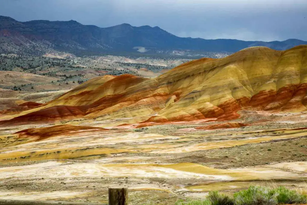
Rolling Hills in sunset colors highlight the desert landscape of the Painted Hills State Park, part of the John Day Fossil Beds National Monument. A simple boardwalk takes you through the heart of the hills and the best colors, while the Painted Hills Overlook trail adds another half mile through the varying landscape.
This simple trail is short but can easily take more time than you think if you stop to admire the constantly changing hues of the hills and the beauty of your surroundings.
For the highlights of both trails, look at our complete blog on Oregon hiking in the Painted Hills State Park.
Sweet Creek Falls
- Distance: 2.2 miles round trip
- Difficulty: Easy
- Type: Out and back
- Seasons: Year round
- Are Dogs Allowed on the Trail: Yes, on leash
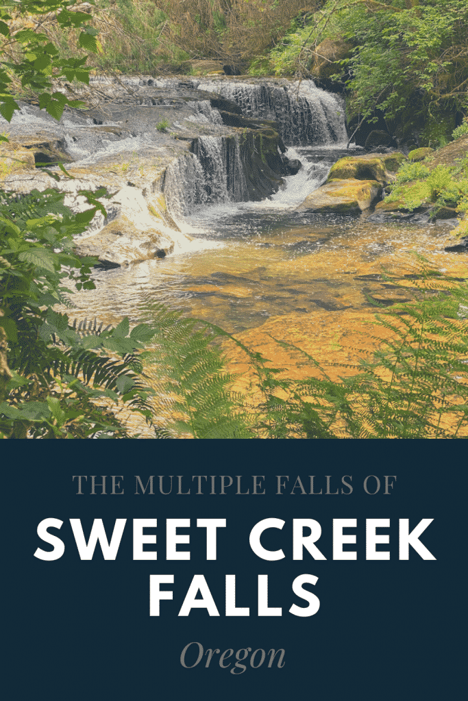
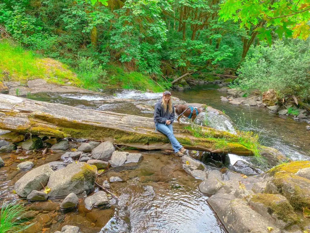
Sweet Creek Falls Trail showcases four waterfalls, which together, drop over 70 feet. Small swimming holes can be accessed at most of the falls, if you’re up for getting wet.
While this trail is heavily traveled for the first quarter mile or so, we found that crowds drastically thinned out as we continued on. By the time we reached the two-tiered finale, the most impressive plunge of them all, there was one other group departing and no one filling up the trail behind us.
Sweet Creek Falls provides easy hiking on a level dirt path augmented by beautiful wooden footbridges in places where the going could get rough.
For highlights of the Sweet Creek Falls hike, please read our complete review of Sweet Creek Falls.
Tamolitch Blue Pool- The Best Oregon Hiking Trail without a Waterfall
- Distance: 3.7 miles round trip
- Difficulty: Easy
- Type: Out and back
- Seasons: Year round
- Are Dogs Allowed on the Trail: Yes, on leash
The Tamolitch Blue Pool trail is another Oregon hiking place on the McKenzie River Recreational Trail. The out and back trail begins in old growth timber and soon shows the diverse landscapes this hike traverses.
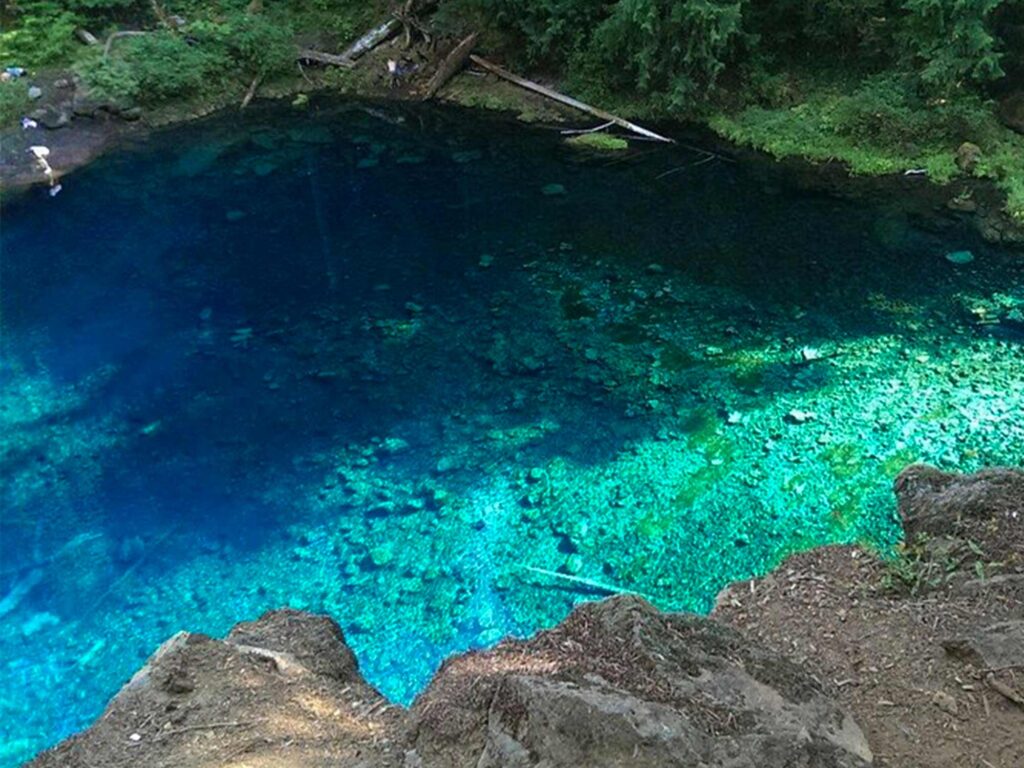
The trail leads through a fairy like forest and later onto dry rock terrain. As the rocky ground turns to an old lava flow, a cliff opens up to the right. Over the edge, and a long way down, is the bluest water you’re likely to see anywhere.
Tamolitch Blue Pool’s water is fed by the McKenzie River, which disappears underground into ancient lava tubes before reemerging at the pool. This unique geological process filters the water, resulting in its stunning clarity and vibrant blue hue.
The pool’s water temperature is consistently cold, typically around 37°F to 40°F (2.8°C to 4.4°C), even during the summer months. The frigid temperature makes swimming hazardous. Tamolitch Blue Pool is best admired from the trails or nearby viewpoints.
The trail itself is rocky in areas, but flat and not difficult. You’ll find moderate to heavy traffic, especially in the summer. Parking is limited on this best Oregon hiking trail, and no restrooms are available.
Explore With Us
