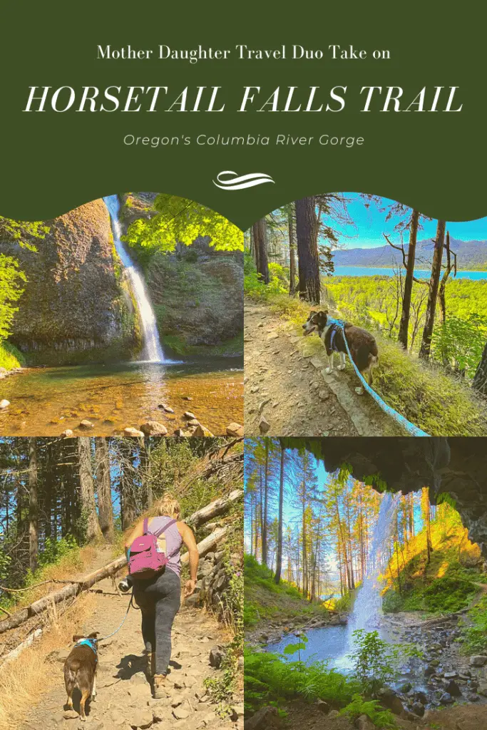
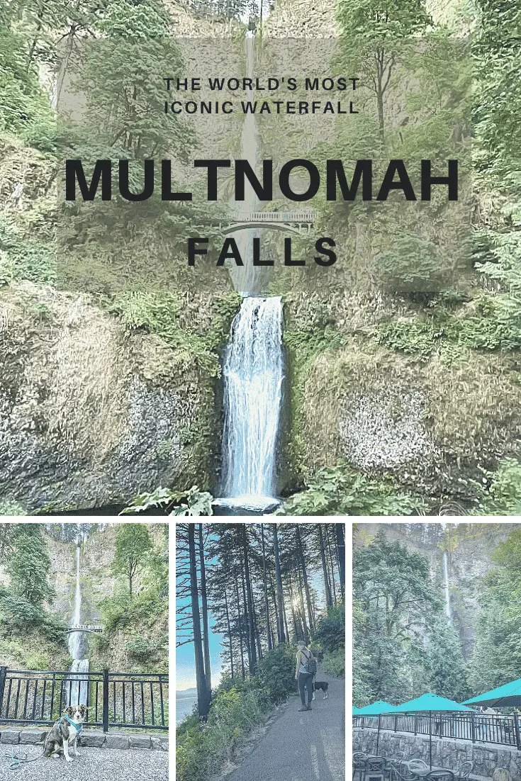
During our mother daughter excursion into the Columbia River Gorge, we sought to avoid the crowds. While we did do the more touristy things such as Multnomah Falls, we also tried to stick to lesser known adventures such as the hike to Ponytail Falls and the Mosier Twin Tunnels hike. I’m sharing my adventure into the historic Mosier Twin Tunnels and what we found there.
What Are the Mosier Twin Tunnels?
As the name implies, the Mosier Twin tunnels is a dual tunnel system built into the side of the mountain in Oregon’s Columbia River Gorge. Both tunnels were originally meant to ferry traffic on the now defunct Columbia River Highway.
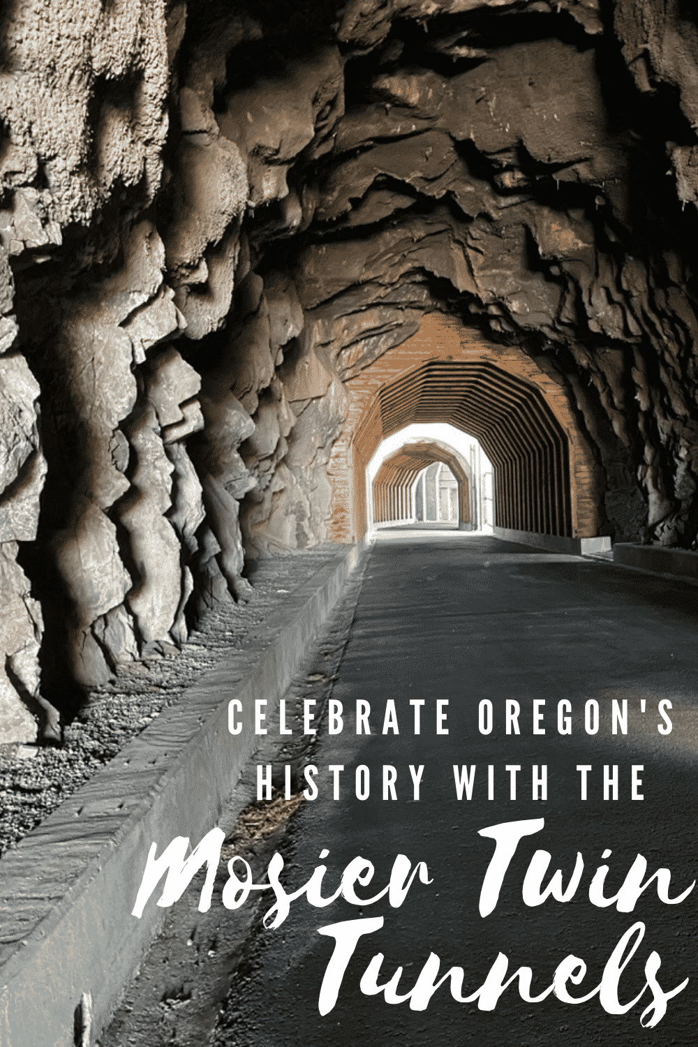
Construction on the Mosier Twin Tunnels, located just west of the town of Mosier, began in 1919 as the historic Columbia River Highway pushed east. Workers used dynamite to create the tunnels in the natural basalt. The tunnels were then lined with cedar boards and beams.
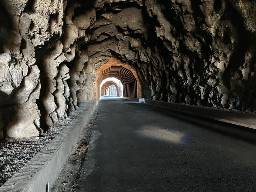
The western tunnel is 81 feet long, while the eastern tunnel is 288 feet long. Twenty-four feet of open space was originally between the two tunnels. The east tunnel has two viewing windows bored into the basalt and then lined with stone.
In 1938, the tunnels were widened to accommodate the larger vehicles being made by auto manufacturers of the time.
During its lifetime, rockfalls and collisions plagued the tunnel systems. Due to this, and the construction of Highway 84, the tunnels were eventually closed and in 1954, were filled in completely.
The tunnels sat forgotten until the 1990s when they were reopened as part of the Historic Columbia River Highway State Trail. This project restored many abandoned sections of the Columbia River highway for bikers, hikers, and joggers.
During this time, the tunnels were dug out and rebuilt to their former glory. Large concrete structures were also added between the tunnels and on the western side to protect visitors from falling rocks.
Setting Out to Hike to the Mosier Twin Tunnels
Before we even began our Mosier Twin Tunnels hike, we prepared by scoping out the scene from Highway 84 a few times. During our Columbia River Gorge trip we stayed in The Dalles, and made the daily drive to the area around Multnomah.
Our many drives took us directly below and by the Mosier Twin Tunnels hike. If you’re wondering why all the drive bys before embarking on the short hike, we definitely had our reasons.
Many of the literature we read on the tunnels instructed us to access them from the western side and then hike the 7-mile round trip trek. Based on maps and our drives, we determined there had to be an easier access point.
Sure enough, we found it. Rather than stopping at the Mark O. Hatfield West Trailhead, we began at the Senator Mark O. Hatfield Trailhead to the East of the tunnels. We parked a few hundred feet past the trailhead in the parking lot on the left-hand side.
After obtaining a parking pass at the trailhead, we made our way a few hundred feet down the hill before finding the Mosier Twin Tunnels hike trailhead on the left-hand side. The parking located here is for the handicapped only.

What We Discovered on the Mosier Twin Tunnels Hiking Trail
To start out, we found the initial part of the hike very placid. For the first stretch, we were surrounded by an arid climate with small trees and brush.
However, the paved trail did start working its way slowly upward. The incline felt a bit delicate after all the climbing to see waterfalls we had done on the trip. In fact, we rate this hike as easy.
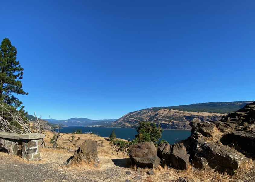
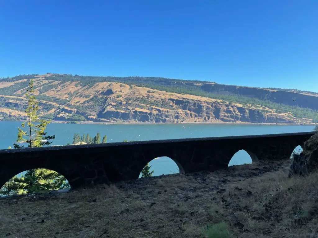
Soon, we realized we were high above Highway 84 and the Columbia River and rapidly changed our minds about the excitement factor. As we walked, the views became more and more expansive, and once we saw old roadside stone work from the original highway, we knew we were close.
We found the opening to the Mosier Twin Tunnels about ¾ of a mile from the east trailhead to the tunnels.
Reaching the Mosier Twin Tunnels
Approaching the tunnels felt a bit anticlimactic to us. From the outside, the tunnel looks small, and to be honest, a bit unattractive, but we’d come all this way. We had to step inside.
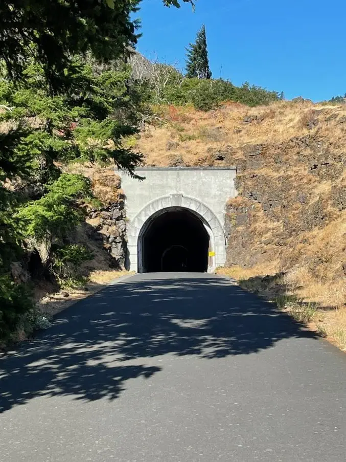
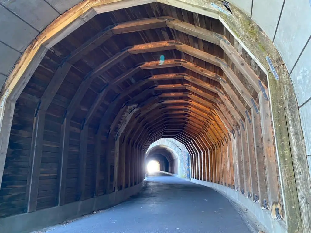
Once our eyes adjusted to see the interior, we were blown away. The wood beams were nothing short of beautiful. We quickly noticed that the wood lining did not cover the entirety of the eastern tunnel. In the absence of it, we could easily see the basalt rock that was once carved away to create the tunnel.
Wind blew through the Mosier Twin Tunnel system in a dramatic, but not overbearing way. In fact, the wind highlighted the smaller tunnels that led us to viewing areas. I quickly got distracted by the first stone “window.”
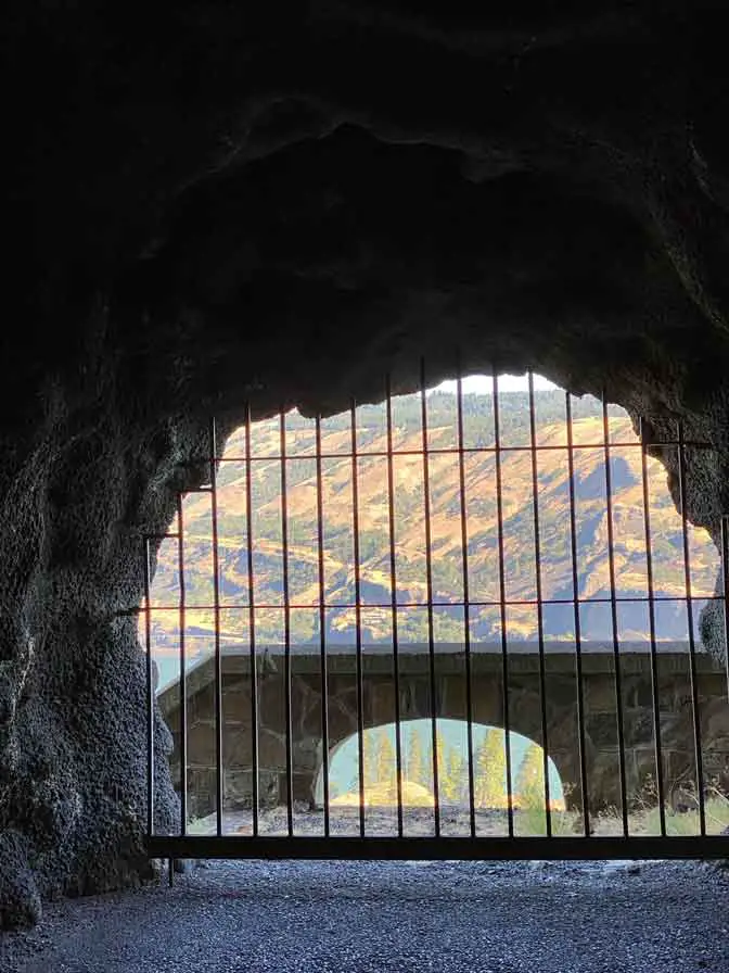
We spent a sizeable amount of time enjoying the view from these original viewpoints inside the tunnel. Looking out, we could see the Columbia River and into Washington. We found it fun to reminisce over the many people that have looked out these viewpoints over the past 100 years.
At the second stone window in the tunnel, we could see an old stone viewing deck with stairs that is now currently closed off. We imagine in the distant past, drivers could stop and access this area for viewing purposes. Today, access is restricted for safety issues such as fall hazards and loose rocks above.
As we crossed from the first tunnel to the section, we noticed a large concrete overhang, sheltering the walkway between the twins. During our visit, we had some major confusion as to what the large concrete structures were. After some further research, we learned they were not original to the Mosier Twin Tunnels but were installed in the 1990’s to protect visitors from the infamous falling rocks that plagued the original roadway.
One easter egg we found in the tunnels was a carving in the basalt walls. Inside the larger, western tunnel, and on the Columbia River side, we found words and dates carved into the walls. These carvings were left in 1921 by motorists who were stranded for 9 days when a snowstorm closed off the tunnels..
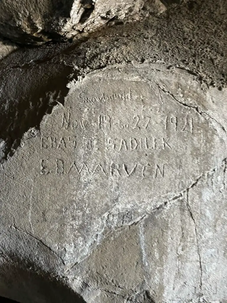
In the winter of 1921, a large snowstorm trapped motorists inside the tunnel for nine days. They survived by cooking geese and apples on a camp stove.
Soon we made our way back to the car, the whole time discussing how the Mosier Twin Tunnels hike would remain one of the most memorable hikes from our trip.
What You Need to Know Before Visiting the Mosier Twin Tunnels Hike
The first thing to know before attempting the Mosier Twin Tunnels hike is how to access it. If you are looking for a longer, and more challenging journey, plan to access the tunnels from the West.
This Mosier Twin Tunnels hike has more inclines, decline and turns. It is a moderate hike lasting 3.5 miles one way to the tunnels. It is 8.5 miles roundtrip from the West trailhead to the east trailhead and back.
The East trailhead is called the Senator Mark O. Hatfield Trailhead and is located in the town of Mosier. To access it from Highway 84, turn onto old Highway 30 in Mosier. Then turn onto Rock Creek Road and travel a little over a half mile to the parking lot.
As mentioned above, the trailhead is not at the parking lot. You will drive past the trailhead on your way to the parking area. The trailhead is located a few hundred feet downhill, on the western side of the road.
The trail from the Eastern trailhead is short and easy. If you are visiting during colder months, be sure to dress warmly, as the interior of the tunnels are cool and windy.
Other Adventures You May Enjoy
Horsetail and Ponytail Falls- 1 easy waterfall, and 1 that is worth the hike.
