Last update: Jan. 15, 2025
NOTE: Henline Falls is currently closed due to the 2020 Beachie Creek Fire. Check out the map of Beachie Creek and Lionshead Fire closures area or continue reading for a description of the Henline Falls Hike prior to 2020.
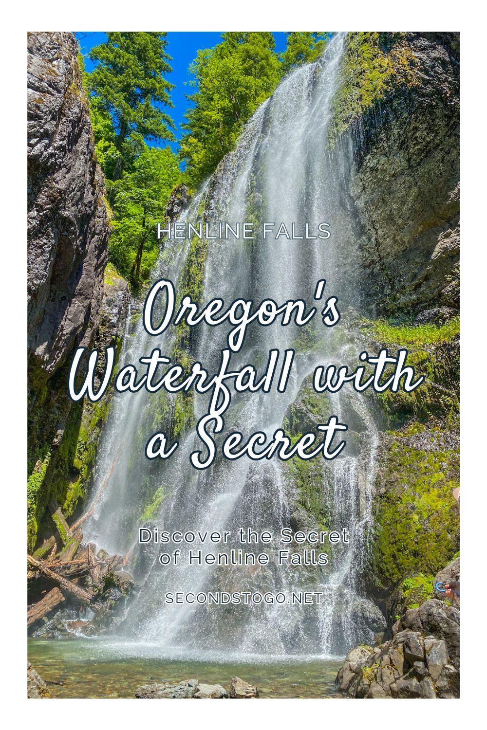
With an easy trail that leads directly to the bottom of a 125 foot waterfall, you’ll want to spend hours exploring the rocks and the clear pools of Henline Falls. The falls have a secret though, a hidden gold and silver mine that is worth the search.
Henline Falls History
In the early 1900’s, the Silver King Mine began its journey. They thoroughly believed inside the mountain was a large vein that would supply riches in the form of gold, sliver, lead and zinc.
After selling investment shares, a road was completed through the area and workers began the mining adventure. A power station was placed below the falls to harness the energy collected by the water wheel in the river.
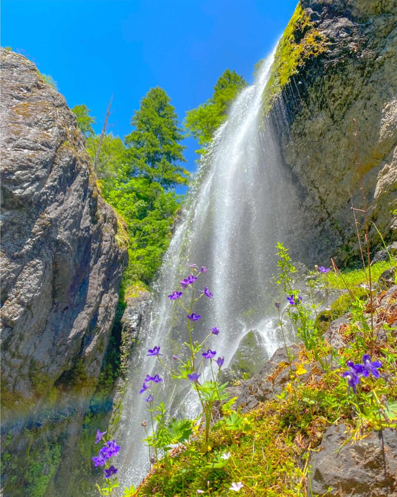
The power station powered a hydraulic drill and blasting equipment used to tunnel nearly 1700 feet into the side of the mountain next to Henline Falls, which was called Silver King Falls at the time. Today, you can still see the foundation for the power plant below the falls and to the right.
Cart tracks to transport the mined material were constructed leading from the mine and along the cliffside for a few hundred feet. From there, the material would be transferred out of the cart and transported down a much easier path to the road. This is the path you will now take to access Henline Falls.
Throughout the years, the mine only produced about 1,000 ounces of gold, which was seen as a failure. They closed the mine in 1938, and it was almost forgotten.
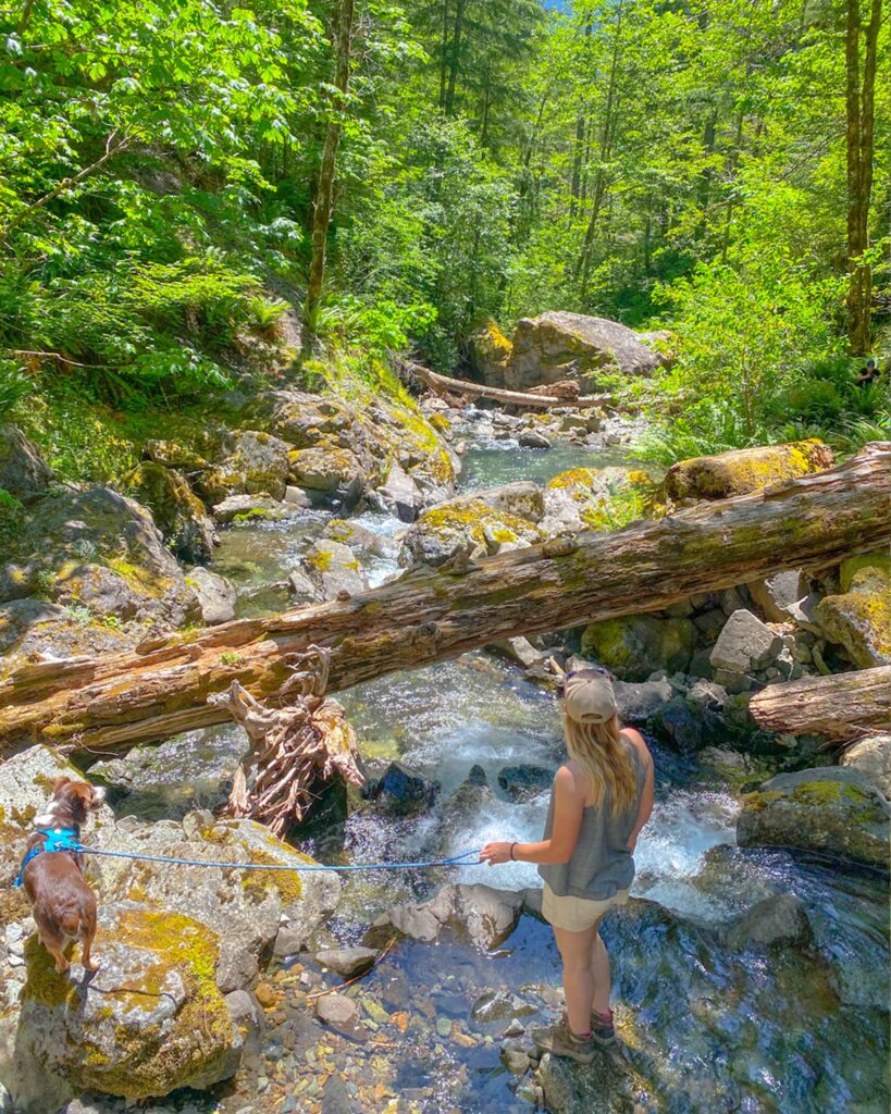
During the 1970’s, an outdoor enthusiast began hiking Henline creek looking for waterfalls. Here, he rediscovered Henline Falls, as well as many other waterfalls along the creek that had never been documented. Many of these falls are difficult to access, requiring strenuous climbs over rocks and through dense forest, while you follow the path of the creek.
Hiking Henline Falls
The hike into Henline Falls is quite easy, covering only 1.8 miles total. The trail is an out and back style path that only covers about 200 feet in elevation gains throughout.
We began on a warm July weekday. Arriving around 10:00 am, we almost could not get a parking spot. The parking area directly at the Henline Falls trailhead only has 3 or four parking spaces, and they are tight. We squeezed the truck in just as some hikers were leaving. They explained how the trail was easy and the falls were beautiful.
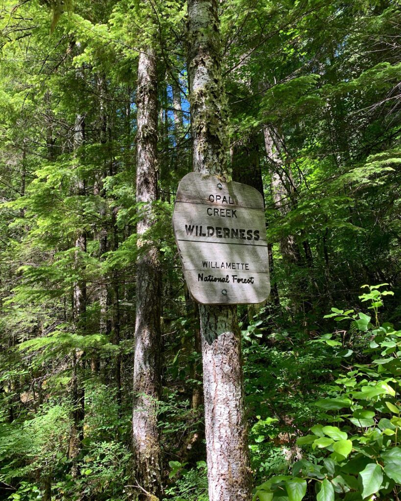
From the trailhead, the trail seems as if it could go straight or left, and when looking for the falls, always head to the left. The four members of our hiking crew plus the dog easily traversed the slight incline on the wide and forested trail.
The trail follows a few easy curves before it starts to straighten and narrow. On this last section we found ourselves a little uneasy. Half our group is not a fan of heights, and this section has a big dropoff on one side of the narrow path.
The small flat section the trail follows is all that remains of the mine cart tracks that carried material from the mine.
Reaching the Falls
Once we reached the halfway point of the narrow trail, we started to hear the falls. It was a nice distraction from the slim path and drop-offs.
Soon, the trail opened up and the 125-foot Henline falls came into view. Personally, these falls are my favorite in all of Oregon.
Once you see the falls, you will have to scramble up the foundation of the old power plant to follow the trail. The trail leads right to a spacious pool at the bottom of the cascading water that makes up Henline Falls.
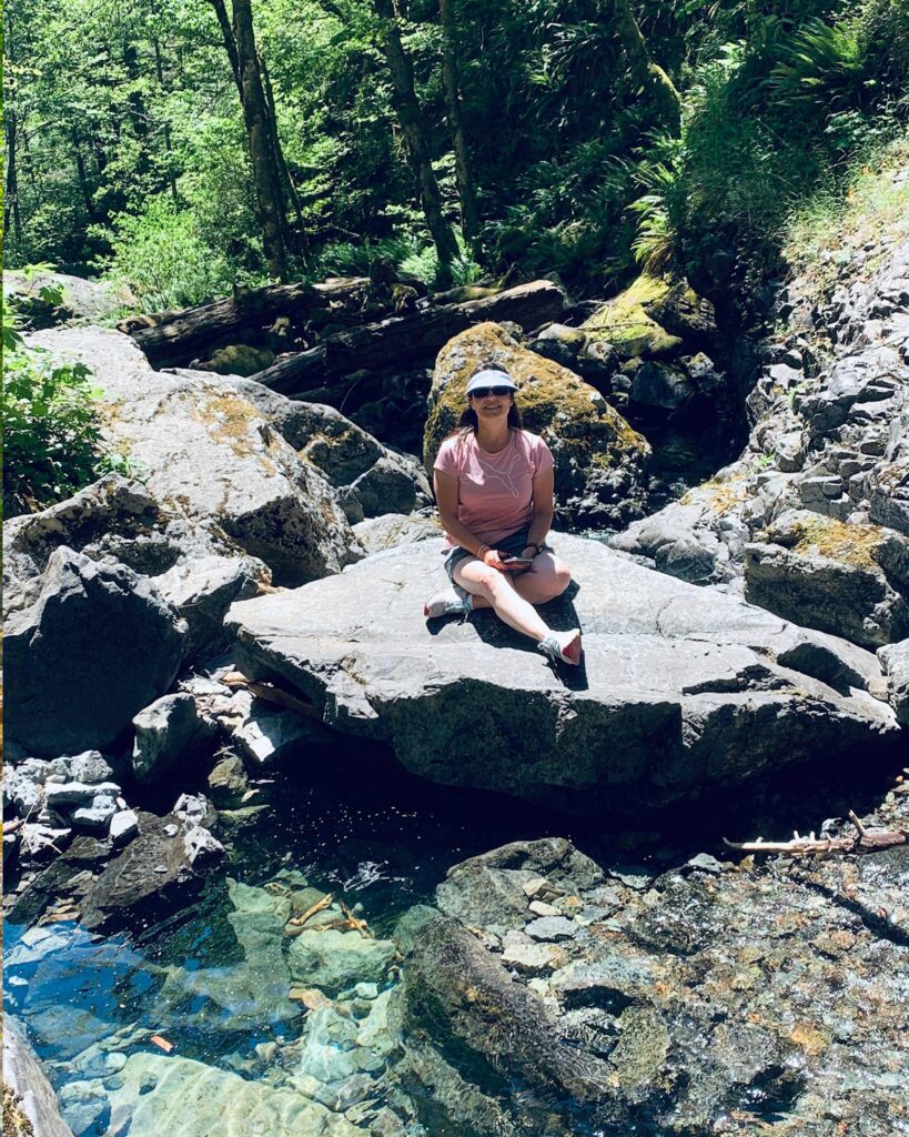
A large log jam creates the pool, and also causes water to create smaller pools below amongst the large rocks. Each pool has crisp, clear water that we enjoyed on the warm day.
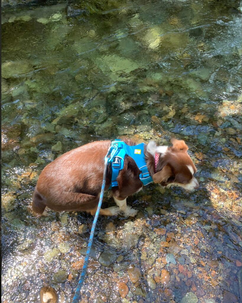
Our experience at Henline falls was calming and quiet. We were able to climb on the rocks, take photos, and enjoy the cool mist for over an hour without any other hikers entering the area.
The Secret of Henline Falls
After we got all the waterfall photos we were hoping for, we noticed a very small worn trail in some steep rocks to the right of the falls (while facing them.) We scaled the short distance up the rocks to another flat spot that lead right to the mine entrance.
In the past, you were able to go all 1,700 feet into the mine, but now, and for many years, a bat gate has been installed 50 or 60 feet int. The gate is there to protect local bat populations, as well as the hikers.
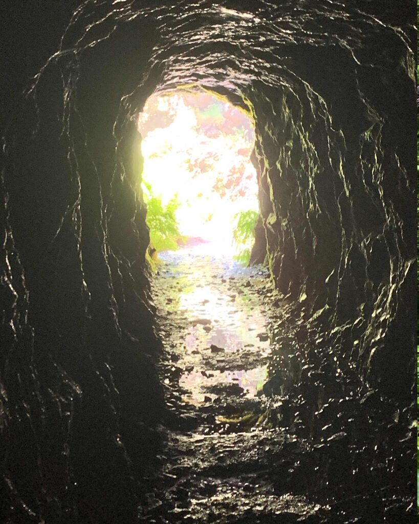
Inside the mine, the temperature radically drops. The walls and ceilings are made of cool, hard stone and the floor is wet. It is hard to imagine spending hours inside this dark, cool tunnel with shovels and pick axes like the miners did. The tunnel barely seems wide enough to swing an axe.
The bat gate is sturdy, but does have plenty of gaps in it for your to peer through or shine a light. We recommend bringing a high-powered LED flashlight with a lot of range if you want to see far. We found that phone flashlights do not cut it.

With the mine shaft being relatively straight, you will be able to see a long way in with the correct flashlight.
Before stepping back down to the falls, take a second to enjoy this vantage point. Specifically, look down at the lower falls and the foundation for the power plant and enjoy the natural and historical beauty.
Wildfires in 2020
In August and September 2020, wildfires devastated the Opal Creek Wilderness area where Henline Falls resides. As a result, the trail to Henline Falls remains closed.
Location
Opal Creek Wilderness
Trip Length
1 to 3 hours
Things to Do Nearby
Jawbone Flats- 30 minutes away (closed due to fire)
Silver Falls State Park- 50 minutes away
Koosah Falls- 1 hour 20 minutes away
McDowell Creek Falls- 1 hour 20 minutes away

