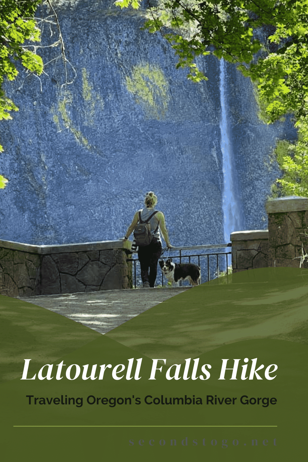
The Latourell Falls hike in Oregon is now open following a lengthy closure due to the Eagle Creek Fire in 2017. Easily accessible from the Historic Columbia River Highway, this loop hike can also be taken as an out and back adventure.
No matter how you dish it up, you’ll cover two outstanding waterfalls and lots of other adventurers if you visit during the warmer weather months.
- Distance: 6.6 mile loop or 2.6 mile out and back
- Difficulty: Moderate
- Type: Loop or Out and Back
- Seasons: Year Round
- Are dogs allowed on the Latourell Falls hike? Leashed dogs are welcome
Finding the Start of the Latourell Falls Hike

We stumbled across the Guy W. Talbott State Park, featuring the Latourell Falls hike and related viewpoints, while traveling Oregon’s Historic Columbia River Highway. Actually, to say we stumbled, while not quite accurate, does paint a fairly vivid picture as the highway literally plows right through the Guy W. Talbot State Park, crossing Latourell Creek on a lichen-covered stone bridge, before cleanly dissecting the parking area at the base of the Latourell Falls trailhead.
As Oregon hiking goes, the Latourell Falls hike is one of its many gems. The trailhead leads off from the southside parking area, but before you can even begin to think about heading upward, you’ll be distracted by the viewing area on the east side of the lot. In summer, it offers little more than a teasing glimpse of Latourell Falls, but it’s enough to lure you off the pavement, down some steep stone stairs onto a flat and well-worn dirt path.
From here, it’s less than a half of a mile to reach the base of Latourell Falls. You’ll hear it long before you see it through the towering woodlands that surround the trail. The sounds of Latourell, however, don’t prepare you for the 224-foot plunge you’ll encounter after rounding a curve and entering a clearing.
Yellow cobblestone lichen offers a festive garland for the columnar basalt forming the lip of the falls, but it’s hardly necessary. Latourell is its own eye candy, dropping dramatically into the base pool below.
It was surrounded by teens and tweens during our visit. We watched them bravely approach the cascade, only to quickly retreat when misted with cold water.
The falls are named after the versatile Joseph “Frenchy” Latourell, who among other things, has the distinction of once owning a mercantile and a fish wheel while piloting boats down the mighty Columbia. He was also appointed postmaster of Rooster Rock.
Later, the area, including the falls, would come to bear his name, despite the fact that the falls are on property formerly owned by Guy W. Talbot. By most accounts, Latourell was a colorful character, well recognized as a proficient fiddler who attracted crowds of Portlanders who arrived by train to hear him perform with his 8 children.
Given his renown, it’s no wonder that the town and falls were named to honor him, overshadowing even the contributions of the well-regarded Talbot.
Two Waterfalls and Two State Recreation Areas, Now That’s a Hike

To pick up the Latourell falls hike, you’ll need to leave the base of the falls, back the way you came. At the southern edge of the parking lot, to the left of an information plaque and trail map, you’ll find the start of the trail, nothing more than a dirt path that immediately ascends upward.
From inauspicious beginnings come great things as you crest the hill to encounter another stunning view of Latourell Falls, perfectly framed by the overarching canopy above and the distinctive masonry of a Civilian Conservation Corp constructed wall.
Despite the exhilaration of feeling the falls in all its power on the lower trail, there are fewer sights on the Latourell Falls hike that are more powerful than what you’ll see at this simple viewpoint. In fact, one young toddler was so overwhelmed that she refused to leave, despite the persistent and lengthy reasoning of her mother.
While we were partially in agreement with the young girl’s sentiment—it was hard to leave a vantage point offering so much splendor—we are always drawn by the unknown, and the thought of Upper Latourell Falls was beckoning us onward.

Trekking the Latourell Falls Trail

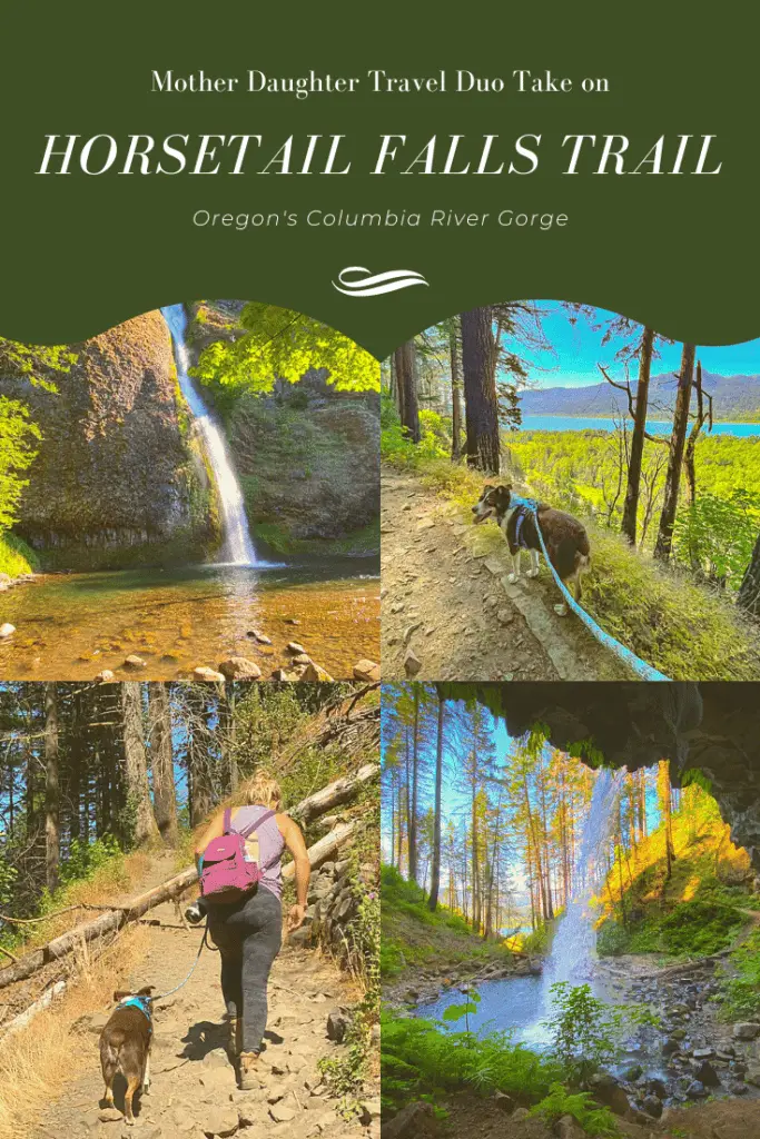
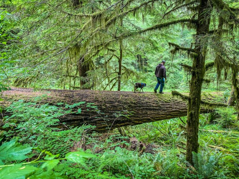
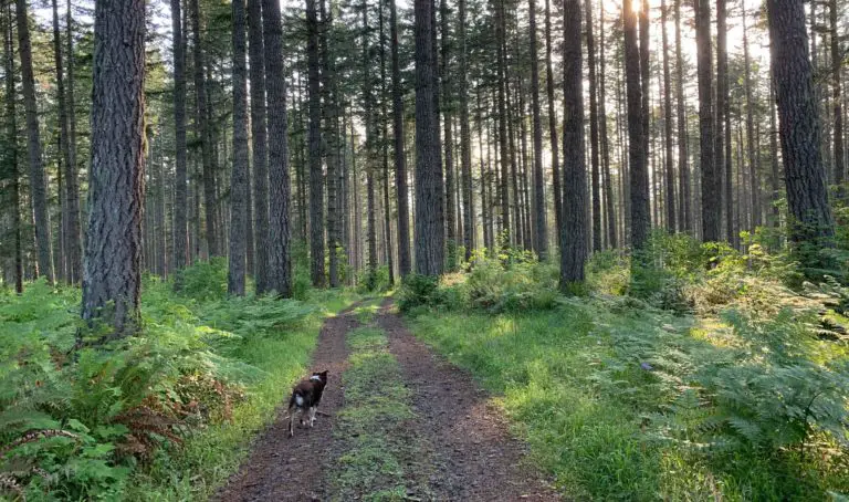
Back on the trail, we continued our upward trek, interspersed with enough flat stretches that nothing about the Latourell Falls hike could be described as overly taxing for anyone in average physical condition. My grand dog, Kimber, kept pace quite rhythmically, despite the heat of the day, stopping only once for a quick drink.
It’s about 1.3 miles from the parking lot to the base of upper Latourell Falls. There were plenty of people to keep us company and several instances of stepping to the side to let oncoming traffic pass on the narrow trail, but the Latourell Falls hike rarely feels crowded. Shaded by a consistent pattern of trees, the only time we felt the strain of our fellow hikers was when repeatedly encountering a large and slow-moving family who refused to yield way to faster walkers.
After requests to pass were ignored, we chose to turn the annoyance to our advantage. Periodic stops gave them the chance to move ahead and us the chance to enjoy more of the calming beauty of the Latourell Falls hike, particularly short glimpses through the trees of the gorge stretched out below.
The Latourell Falls hike gains 625 feet of elevation with the highest point hitting 620 feet. It’s no mile high trail by any means, but you’ll feel your heart pumping a time or two, and that before you catch your first sight of Upper Latourell Falls through the trees.
By this time, you’ve left the Guy W. Talbot State Park and entered the George W. Joseph State Natural Area, named for the family bearing that name who gifted the magnificent wilderness, including the falls, to the state.
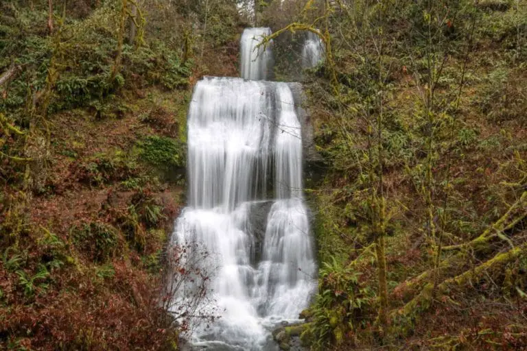
The upper falls is actually composed of two plunges. The top tier becomes less visible as you reach the base, so take some time early on to spot it and enjoy the view.
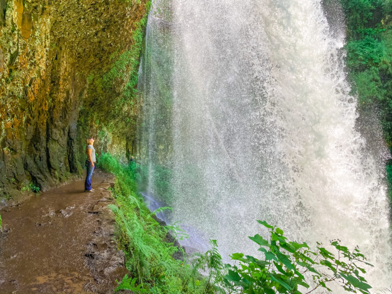
As you reach the base, you’ll recognize the same columnar basalt that crowned the lower falls, absent the lichen adornment. A trail once led behind the falls for a chance to see the backside of water, but it’s been long since covered by falling rock.
From the base of the falls, we opted to turn back and retrace our steps, but the Latourell Falls hike can also be taken as a loop, leading down the west side of Latourell Creek to the Columbia River Highway. If you decide to take the full loop, be prepared to travel up the narrow road for a bit in order to get back to the parking lot.
What Is the Historic Columbia River Highway?

As America’s craze for the automobile hit full frenzy around the beginning of the 19th century, the state of Oregon embraced roadway travelers by constructing the Columbia River Highway. Stretching from Sandy River near Troutdale to the Dalles, the 74-mile stretch of road was considered a marvel of its time, sensitive to both the environmental concerns of the area and the citizen’s need to travel.
The Columbia River Highway opened up the gorge’s secrets to the people of Oregon in a steady work of construction that began in 1913 and ended in 1922. Its forward-thinking design employed innovations in engineering and advances in roadway design, patterned after thoroughfares found in western Europe and the British Isles, including adherence to grading standards and drainage design.
You’ll find evidence of the old design in drainage swales and rock walls as you travel what is left of the old highway, heading east from Troutdale. In fact, much of the highway remains as it was, a narrow two-lane affair best for traveling at slow speeds and taking in the scenery. By the time you leave Troutdale behind and reach the Vista House viewpoint, one of the first tourist destinations on the roadway, you’ll find that most other travelers are of the same mind.
The Columbian River Highway stretches through some of the most picturesque scenery in all of Oregon, delighting travelers with multiple waterfalls and magnificent views of the river gorge. The roadway stretches into the Oneonta Gorge as well as the Eagle Creek Wilderness, before terminating in the Dalles. A few stretches of the old highway are now gone, replaced by the modern Interstate 84, so be prepared to spend some time on the freeway if you travel from end to end. Other sections have been restored as walking and biking trails, inviting visitors to take a much more intimate view of the gorge.
EXPLORE WITH US
