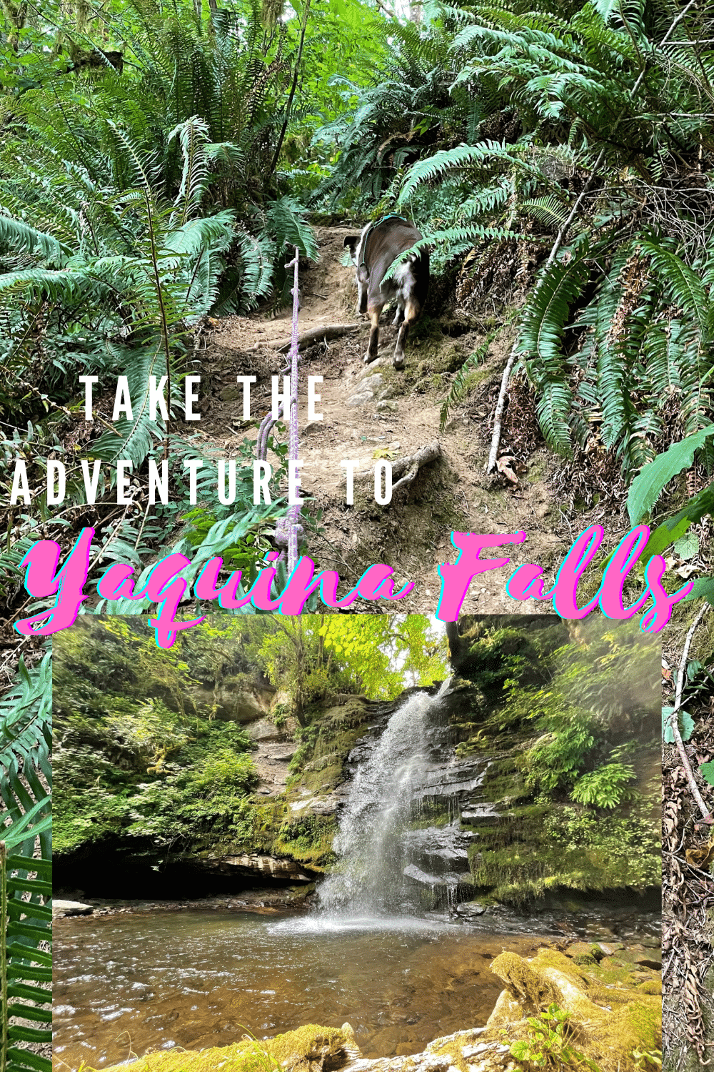
Down a sloping, winding, and seemingly abandoned logging road, a small trail appears covered in ferns. Down this “trail,” the adventure to Yaquina Falls really begins.
The Pre-Adventure to Yaquina Falls
The path to Yaquina Falls was not what I expected it to be, from start to finish. My first time visiting the falls was about 8 years ago, and my memory of the trek was a bit blurred by my husband, Spencer, proposing to me at the base of the falls.
In the 8 years between then, and this summer, I seemingly forgot what an adventure this little waterfall hike was. 8 years ago, my husband maneuvered a grey, one ton pickup up the winding slopes, and through a logging gate.
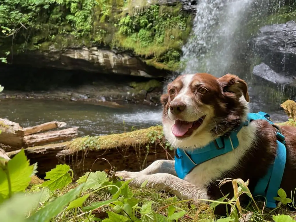
After driving about a mile across newly graveled logging roads, we stopped shortly after a large concrete bridge covered in moss, and embarked on the treacherous journey down to the falls.
Fast forward 8 years, and things had changed a bit. This summer, I steered my white one-ton pickup up the same roads full of my family and dog.
Unlike my engagement day, the yellow logging gate was securely locked and the road, overgrown. After parking the vehicles, we decided to trek on foot.
The walk begins easily, downhill in a gentle slope. We walked, chatted and wondered how much further we had to go. The road was overgrown in places, especially on the edges of the gravel.
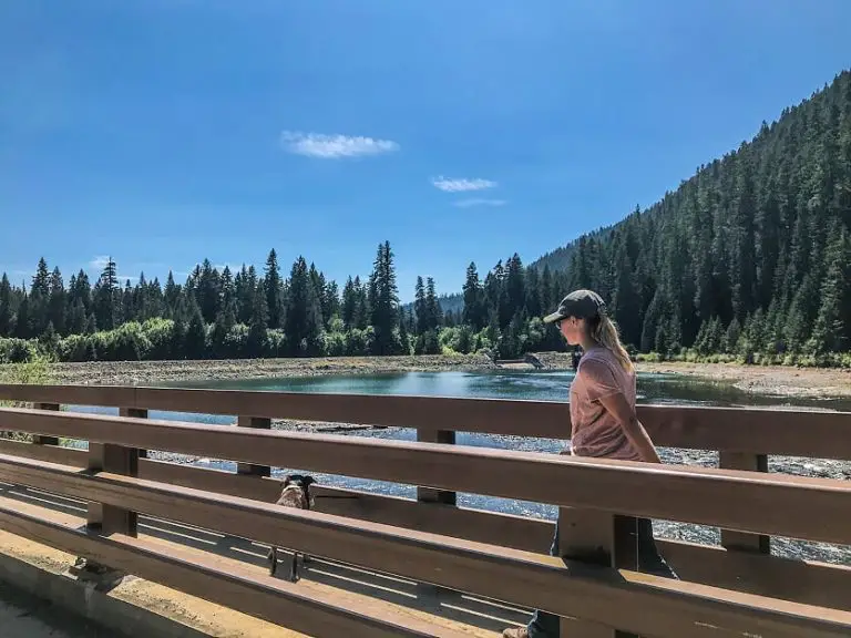
After about a mile, we finally saw the concrete bridge I recognized from my memory. This time around, the moss on the sides was thicker, and ferns were encroaching. The water under the bridge flowed freely, despite it being August.
I became very aware that the river supplied Yaquina Falls, and we were close. My husband swore the trail was adjacent to the bridge, but we searched with no avail.
With the gate being locked, and things being locked down due to COVID, the falls had seen a lot less visitors in the recent years, making the trail harder to find.
Spencer walked further up the road as we all began to think our walk was to no avail. Soon he shouted out that he had found the trail to Yaquina Falls, and we all quickly trotted up the road to join him.
The Real Journey to Yaquina Falls
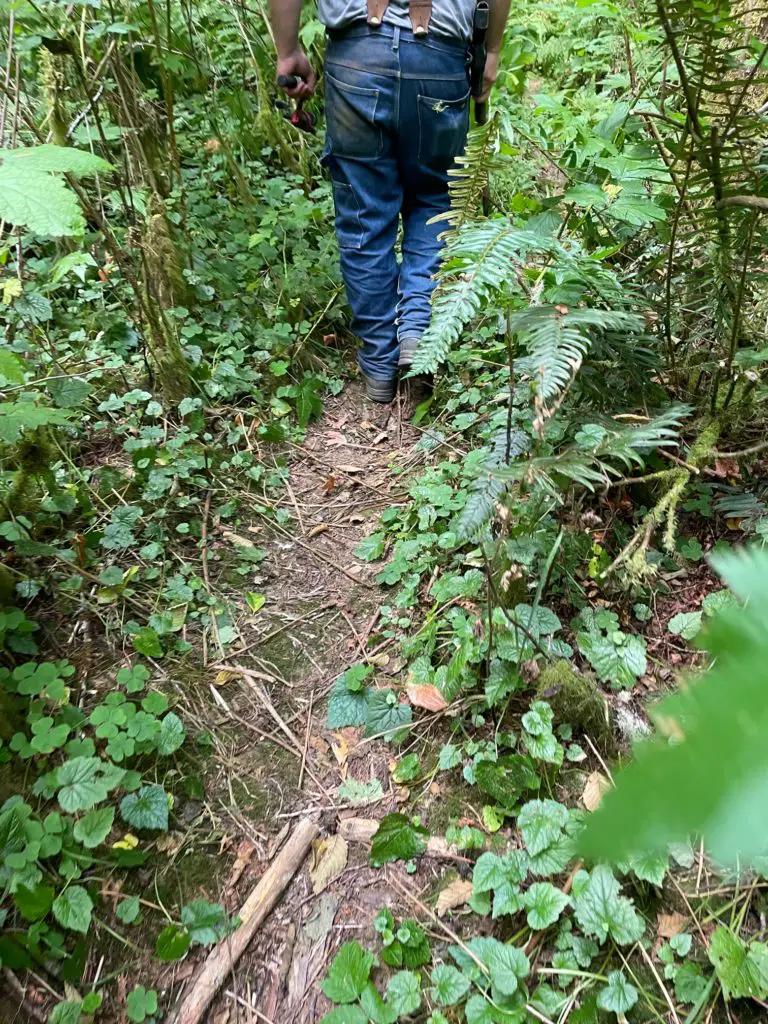
The trailhead barely looked visible. Ferns and low hanging tree branches covered the opening in all directions. In fact, the only marker to tell us the trail was there were initials carved into a tree on the edge of the road.
With a machete in hand, spencer began re-clearing the trail, or as best he could. We traversed tree roots, ferns, and branches across the trail for about 100 feet before the trail became steep.
I am not a fan of heights, or slippery surfaces, and this trail has a bit of both. Soon, Mom and one sister turned back, opting to stay in the known.
The rest of our group, including the four-legged member, trudged along, slipping and sliding down a moderately steep trail. In no time, the trail opened a bit, and filled us with fear, and a bit of disbelief.
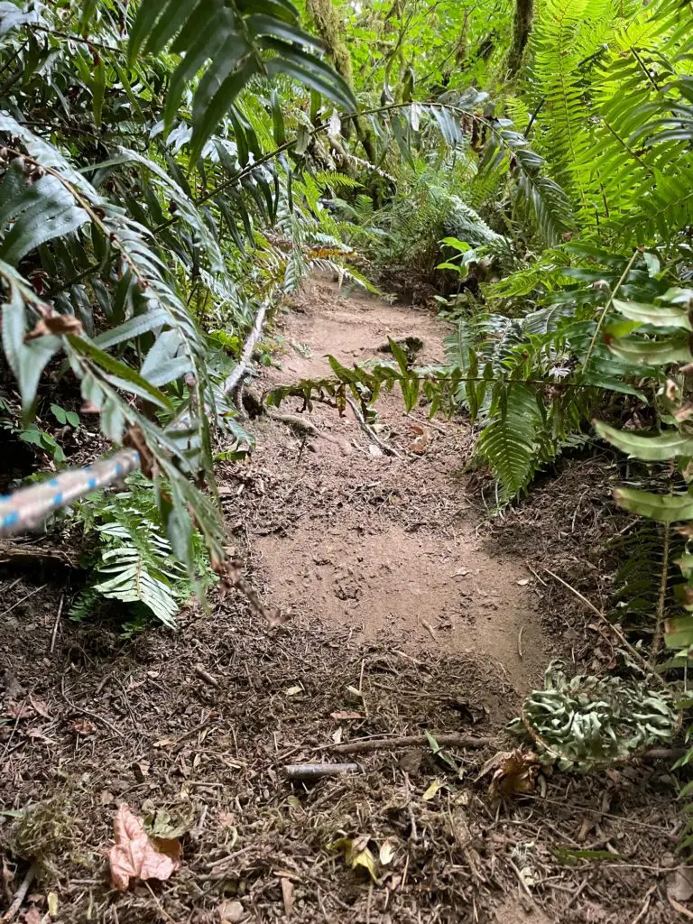
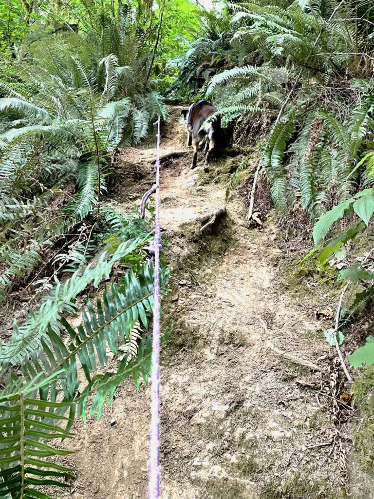
Knotted tree roots and too-worn dirt created an almost vertical slope in front of us. Ropes were tied to unknown trees above us and hung down the slope.
One by one, we gripped the rope, and hoped it held. I went down second, right behind my husband who traversed the slope as if it was flat concrete in front of him. I did not fair so well.
My hands gripped white knuckle tight to the rope as I planted each foot. Each step became more of a slide with the rope for support. The rest of the group followed dutifully behind, but we were met with disappointment quickly.
At the bottom of the rope, was not a flat trail leading to the falls like we had hoped, and like I had remembered. But rather, another steeper stretch with more rope supports.
My husband kept reporting “we are almost there!” but each time, he would laugh when he’d realize he was not correct. After each steep stretch, the trail would turn slightly, into another even steeper stretch.
The last stretch was downright scary. The rope was a course material, which was very abrasive on my hands. Besides traversing steep, loose dirt and stepping over tree roots, a downed tree crossed our path.
The rope was, of course, under the fallen tree, but we had no choice but to go over it. I had to drop the rope, shakily step over the tree, and hope I had the balance to handle this obstacle.
But once at the bottom, the outlandish journey was worth it.
At the Bottom of the Slippery Slope
At the very bottom of the precarious journey to Yaquina Falls, the view is a bit underwhelming. You’ll first see a large tree directly in front of you, and the river just beyond it. A few feet to your left will be the top of a waterfall.
I suffer from a fear of heights, and I definitely felt that fear in this location. Once at the bottom, we immediately panicked, trying to fumble with the leash and get the dog tethered and away from the sheer drop off that the water cascades down.
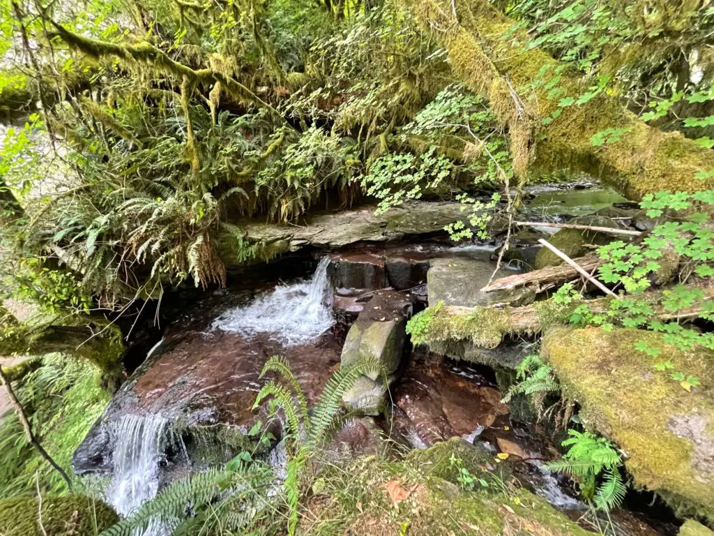
The braver members of our hiking group peered over the edge to watch the water tumble into the pool below. We discussed how far down the drop was, and settled on at least 100 feet.
For a safer, less terrifying waterfall experience, we walked about 200 feet further upstream on a once well worn trail. Nature had begun to overtake the path, so we closely followed our fearless leader and his machete.
Here, the true Yaquina Falls experience begins.
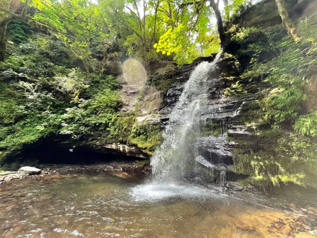
I once again found myself at the bottom of Yaquina Falls, and memories from many years prior filled my mind. The water somersaults down a roughly 50-foot rocky cliff face into a serene pool at the bottom before flowing to the next drop.
Small rock stacks sat adjacent to the falls, reminding us that while this place was empty today, it had not been in the past.
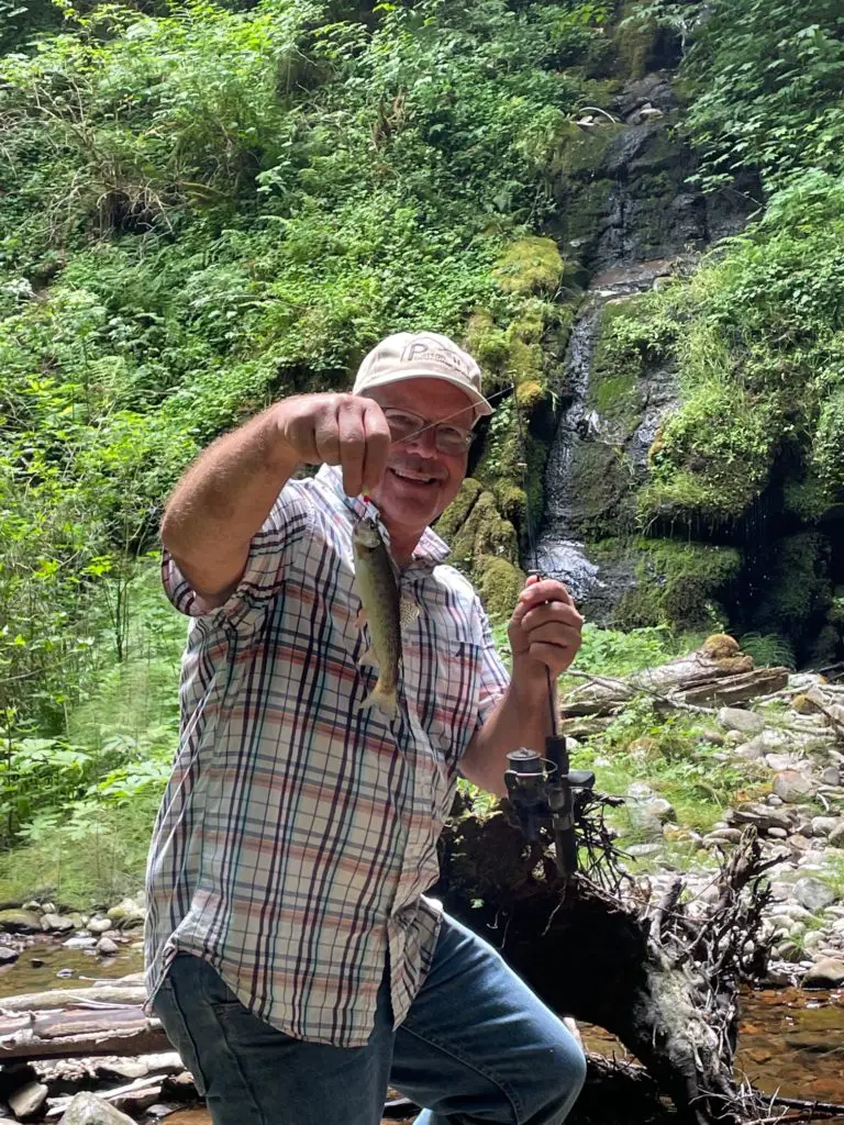
Soon, the men broke out tiny fishing poles and began catching small trout. Conversation erupted on how the fish found themselves in between two waterfalls. And imaginary images of fish falling over the falls made us laugh.
Had it been a hotter day, I may have thought about wading in. The pool of water is large and calm just a few feet away from the water cascade. Also, this time of year, the water flow leaving the pool is minimal, making it safe to swim.
Instead of taking a dip, I traversed a log and tip toed across the river to access the opposite side of the pool for photos. In many places, specifically water falls in Oregon, tourists abound. I found the serene and isolated nature of these falls so satisfying.
Rather than dodge tourists in my photos of Yaquina falls, I could photograph them as nature intended.
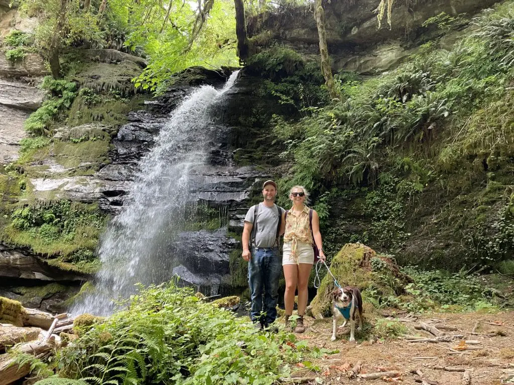
After 30 minutes or so of enjoying the sights, catching trout, and joking and laughing, we were ready to regroup with our members up top, grateful for our time with Yaquina Falls.
Climbing Out of Yaquina Falls
The climb back up from Yaquina Falls was a bit more physically taxing. But, I must admit, I found it much less scary. Heading uphill, I was able to use the ropes more to my advantage and climb up without slipping.
The dog raced between us as we climbed, taunting us with her extra set of legs and low center of gravity. The climb back up seemed to take one-third the time of the journey down. Before we knew it, we were past the steep sections where we were dependent on ropes.
It felt odd to be walking unassisted on our own two feet again. Upon wading through the ferns to the rest of the group, we felt triumphant with tales of what we had found below.
That is until we realized we still had at least a mile walk back up to the truck. The gentle slope we had endured on the way to the trailhead now seemed severe to our tired bodies. My motto inside my head was “one foot in front of another.”
I had already drunk an entire large bottle of water, and was in need of more. Ice cold water awaited us in the truck bed, my motivation to keep walking.
Usually, the way back always seems faster, this time, that was not the case. Each bend we kept thinking “we are almost there.” Until we realized, we were not.
Soon (or not soon) enough, the vehicle came into view, as did water supply. Once we had all guzzled a water bottle or two, we felt refreshed and enthusiastic about the vast expedition to Yaquina Falls we had accomplished.
Where Is Yaquina Falls?
Yaquina Falls is about 10 miles as the crow flies from Blodgett, Oregon. To access the falls, begin on Highway 20 in Corvallis, heading west. Next, access the Summit Highway across from the Blodgett Country Store.
The store is a great place to stop if you need any snacks or water, but be aware, they do not have restrooms.
You will travel on Summit Highway for about 15 minutes, it will then turn into Nashville Road, and you will be in Nashville. Once in the town of Nashville, a small, seemingly abandoned store will be on your right. Turn right here on Logsden Road.
After a couple miles, Logsden Road will become gravel. Shortly after it does, take a right onto Green Mountain Road. Then travel about 2 miles, to the next fork in the road, and turn right.
Drive another half mile and keep an eye out for a road on the left. This is where your journey will begin. Park out of the way here, but do not block the yellow gate.
From here, the journey to Yaquina Falls continues on foot. You’ll walk just over a mile from the gate to the bridge. Once at the bridge, follow the road up the hill and keep an eye out on the right-hand side. About ¼ mile from the bridge, a large tree with hand carved initials in it unofficially marks the trailhead.
Lower Yaquina Falls
While our trip took us to the Upper Yaquina Falls, there is a lower one as well. In fact, there are many smaller waterfalls located on this river, and most are practically unknown.
To access Lower Yaquina Falls, you will have to follow the river, and the terrain that goes with it. For our group, the journey to the first fall was adventurous enough, and we deiced to not try our luck at finding the lower falls.
From those we know who have seen the lower falls from the bottom, the only way to access it is to bushwack your way along the river until you find it. It is very dangerous and is only recommended for the most experienced outdoorsmen.

